
| Distance / Altitude | Location | Report Date / Time | Live Weather | Wind | Gusts | Temp. | Visibility | Cloud |
|---|---|---|---|---|---|---|---|---|
| 25 km ESE / 3 m | BUOY-PCXA2 (Marine) | 2024-04-28 16:33 local (2024/04/29 00:33 GMT) | calm (5 km/h at 20) | 10°C | - | |||
| 30 km N / 3 m | BUOY-TKEA2 (Marine) | 2024-04-28 16:32 local (2024/04/29 00:32 GMT) | light winds from the SE (8 km/h at 130) | 11°C | - | |||
| 42 km E / 210 m | Angoon Seaplane Base Airport (United States) | 2024-04-28 14:56 local (2024/04/28 22:56 GMT) | Dry and partly cloudy | wind obs. (7 kph from 1 degs) was rejected (- km/h at -) | 10°C | 16 | few scattered | |
| 45 km S / 3 m | BUOY-STXA2 (Marine) | 2024-04-28 16:32 local (2024/04/29 00:32 GMT) | light winds from the SSW (9 km/h at 200) | 10°C | - | |||
| 50 km S / 212 m | Sitka Airport (Alaska) | 2024-04-28 14:53 local (2024/04/28 22:53 GMT) | Dry and partly cloudy | light winds from the SW (17 km/h at 230) | 9°C | 16 | few broken |
| Contours: | Roads & Rivers: | Select a
tide station / surf break / city |
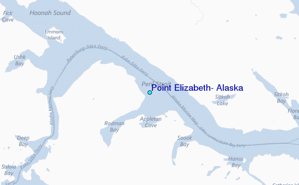
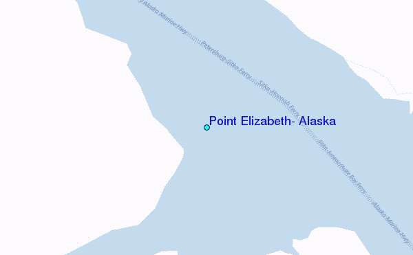
Use this relief map to navigate to tide stations, surf breaks and cities that are in the area of Point Elizabeth, Alaska.
Other Nearby Locations' tide tables and tide charts to Point Elizabeth, Alaska:
click location name for more details
 Surf breaks close to Point Elizabeth, Alaska:
|
||
|---|---|---|
| Closest surf break | Cannon Beach | 212 mi |
| Second closest surf break | Graveyards | 216 mi |
| Third closest surf break | Ocean Cape | 217 mi |
| Fourth closest surf break | Lepus Beach (Haida-Gwaii) | 247 mi |
| Fifth closest surf break | Tow Hill Beach | 273 mi |

 Nearest
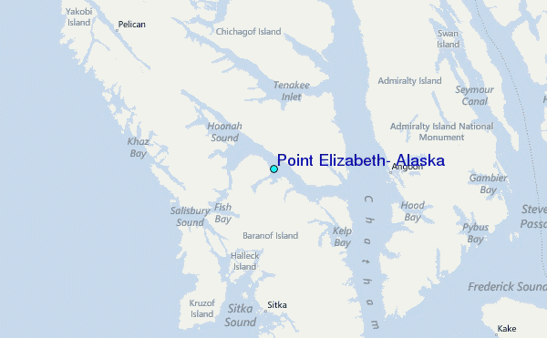