
| Distance / Altitude | Location | Report Date / Time | Live Weather | Wind | Gusts | Temp. | Visibility | Cloud |
|---|---|---|---|---|---|---|---|---|
| 0 km S / 5 m | Pointe-AU-Pere (Inrs)- Que (Canada) | 2024-04-28 23:00 local (2024/04/29 03:00 GMT) | - | light winds from the W (7 km/h at 280) | 4°C | - | - no observation - | |
| 21 km ENE / 52 m | Mont-JoliA- Que (Canada) | 2024-04-28 23:00 local (2024/04/29 03:00 GMT) | - | light winds from the WNW (19 km/h at 290) | 4°C | 4.8 km | - overcast - | |
| 21 km ENE / 217 m | Mont Joli Airport (Quebec) | 2024-04-28 22:00 local (2024/04/29 02:00 GMT) | Light rain | calm (4 km/h at 1) | 6°C | 5 | scattered overcast | |
| 21 km ENE / 217 m | Mont Joli Airport (Quebec) | 2024-04-28 23:17 local (2024/04/29 03:17 GMT) | Light rain | light winds from the NW (15 km/h at 310) | 4°C | 2 | overcast | |
| 33 km SW / 7 m | Ile Bicquette- Que (Canada) | 2024-04-28 23:00 local (2024/04/29 03:00 GMT) | no report | light winds from the SW (7 km/h at 220) | 4°C | - | - no observation - |
| Contours: | Roads & Rivers: | Select a
tide station / surf break / city |
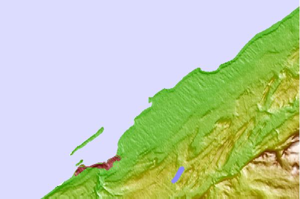
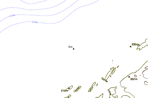
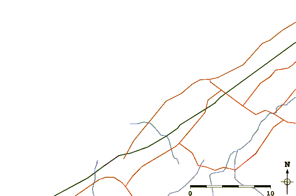
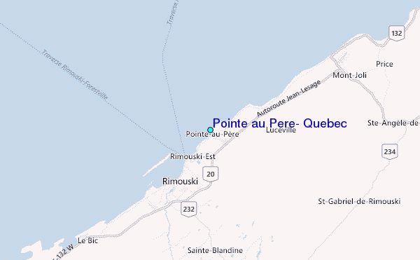
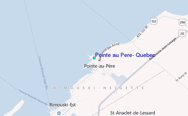
Use this relief map to navigate to tide stations, surf breaks and cities that are in the area of Pointe au Pere, Quebec.
Other Nearby Locations' tide tables and tide charts to Pointe au Pere, Quebec:
click location name for more details
 Surf breaks close to Pointe au Pere, Quebec:
|
||
|---|---|---|
| Closest surf break | Popham Read | 337 mi |
| Second closest surf break | Trayhan's | 337 mi |
| Third closest surf break | Two Lights | 352 mi |
| Fourth closest surf break | Doc Browns | 353 mi |
| Fifth closest surf break | Higgins Beach | 354 mi |

 Nearest
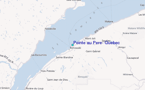