
| Distance / Altitude | Location | Report Date / Time | Live Weather | Wind | Gusts | Temp. | Visibility | Cloud |
|---|---|---|---|---|---|---|---|---|
| 254 km ENE / 167 m | Point Salines Airport (Grenada) | 2024-04-27 23:00 local (2024/04/28 03:00 GMT) | Dry and partly cloudy | moderate winds from the E (22 km/h at 80) | 27°C | 10.0 | few broken - | |
| 256 km E / 39 m | Woodbrook wx (Trinidad and Tobago) | 2024-04-27 23:12 local (2024/04/28 03:12 GMT) | - | calm (0 km/h at 0) | — | - | - - 0 | |
| 259 km E / 3 m | SHIP7768 (Marine) | 2024-04-27 21:00 local (2024/04/28 01:00 GMT) | - (- km/h at -) | 27°C | - | |||
| 273 km ESE / 130 m | San Francisco Settlement wx (Trinidad and Tobago) | 2024-04-27 20:39 local (2024/04/28 00:39 GMT) | dry | calm (0 km/h at 96) | 26°C | - | - - 0 | |
| 275 km ESE / 21 m | Penal (Trinidad and Tobago) | 2024-04-27 22:44 local (2024/04/28 02:44 GMT) | dry | - (- km/h at ) | — | - | - - 0 |
| Contours: | Roads & Rivers: | Select a
tide station / surf break / city |
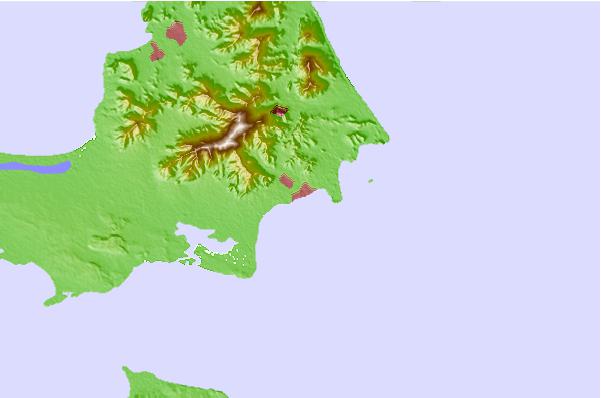
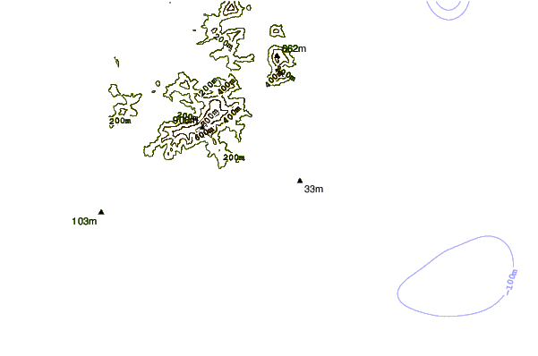
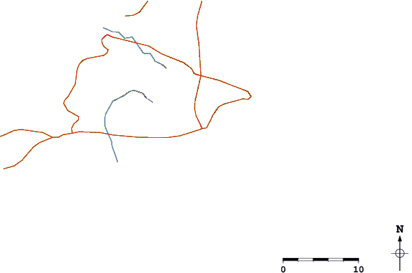
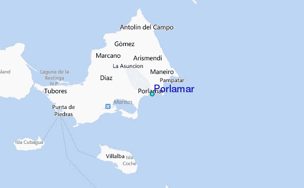
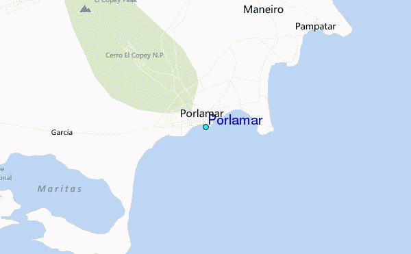
Use this relief map to navigate to tide stations, surf breaks and cities that are in the area of Porlamar.
Other Nearby Locations' tide tables and tide charts to Porlamar:
click location name for more details
 Surf breaks close to Porlamar:
|
||
|---|---|---|
| Closest surf break | Las Salinas | 6 mi |
| Second closest surf break | Guacuco | 7 mi |
| Third closest surf break | Piedras Negras | 12 mi |
| Fourth closest surf break | Playa Parguito | 12 mi |
| Fifth closest surf break | Playa Caribe | 14 mi |

 Nearest
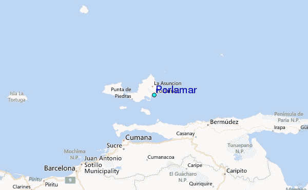