
| Distance / Altitude | Location | Report Date / Time | Live Weather | Wind | Gusts | Temp. | Visibility | Cloud |
|---|---|---|---|---|---|---|---|---|
| 43 km E / 240 m | Rundle Island (Australia) | 2024-04-29 11:00 local (2024/04/29 01:00 GMT) | - | fresh winds from the SE (35 km/h at 140) | 23°C | - | no observation | |
| 46 km W / 15 m | RockhamptonAero (Australia) | 2024-04-29 11:00 local (2024/04/29 01:00 GMT) | - | light winds from the SE (19 km/h at 130) | 26°C | - | no observation | |
| 47 km W / 217 m | Rockhampton Airport (Australia) | 2024-04-29 10:30 local (2024/04/29 00:30 GMT) | Dry and partly cloudy | light winds from the SE.(Wind varies from 090 to 150 degs) (17 km/h at 130) | 25°C | 10.0 | no cloud | |
| 47 km W / 217 m | Rockhampton Airport (Australia) | 2024-04-29 10:30 local (2024/04/29 00:30 GMT) | Dry and partly cloudy | light winds from the SE.(Wind varies from 090 to 150 degs) (17 km/h at 130) | 25°C | 10.0 | no cloud scattered overcast | |
| 48 km SE / 17 m | Gladstone Airport (Australia) | 2024-04-29 11:00 local (2024/04/29 01:00 GMT) | no report | moderate winds from the ESE (22 km/h at 120) | 26°C | - | - no observation - |
| Contours: | Roads & Rivers: | Select a
tide station / surf break / city |
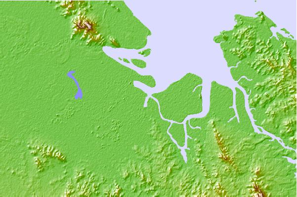
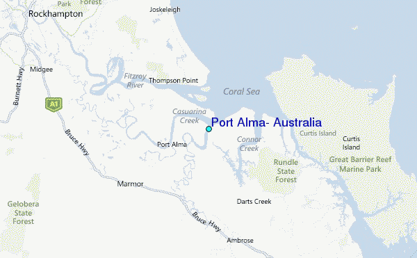
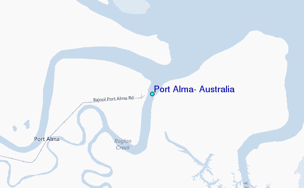
Use this relief map to navigate to tide stations, surf breaks and cities that are in the area of Port Alma, Australia.
Other Nearby Locations' tide tables and tide charts to Port Alma, Australia:
click location name for more details
 Surf breaks close to Port Alma, Australia:
|
||
|---|---|---|
| Closest surf break | Agnes Waters | 81 mi |
| Second closest surf break | Archies | 134 mi |
| Third closest surf break | Elliott Heads | 138 mi |
| Fourth closest surf break | Fraser Island - Waddy Point | 183 mi |
| Fifth closest surf break | Fraser Island - Indian Head | 185 mi |

 Nearest
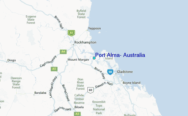