
| Distance / Altitude | Location | Report Date / Time | Live Weather | Wind | Gusts | Temp. | Visibility | Cloud |
|---|---|---|---|---|---|---|---|---|
| 6 km SSW / 4 m | Port Blair Veer Savarkar International Airport (Netherlands Antilles) | 2024-04-30 22:30 local (2024/04/30 17:00 GMT) | Mist - | calm (4 km/h at 1) | 28°C | 5.0 | few | |
| 7 km W / - m | SHIP5410 (ocean) | 2024-04-30 21:30 local (2024/04/30 16:00 GMT) | - | light winds from the ESE (7 km/h at 120) | 29°C | - | no observation | |
| 7 km SW / 206 m | Port Blair (India) | 2024-04-30 23:30 local (2024/04/30 18:00 GMT) | Haze | light winds from the W (6 km/h at 270) | 28°C | 2 km | - few - | |
| 277 km NNE / 3 m | Coco Island (Myanmar) | 2024-04-30 23:30 local (2024/04/30 18:00 GMT) | no report | calm (2 km/h at 230) | 32°C | 4000 | - | |
| 523 km WSW / 15 m | ASCATB88E11N (Marine) | 2024-04-30 21:26 local (2024/04/30 15:56 GMT) | light winds from the SSW (11 km/h at 199) | — | - km |
| Contours: | Roads & Rivers: | Select a
tide station / surf break / city |
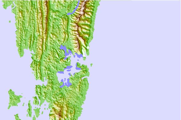
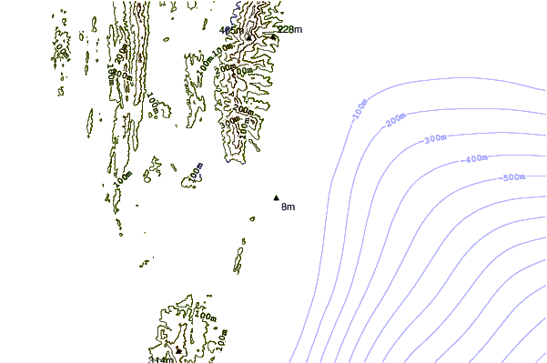
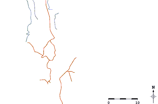
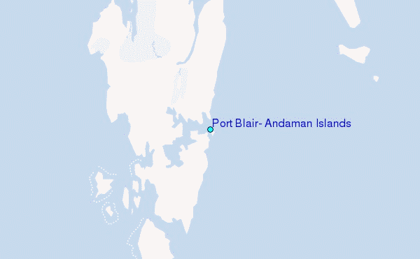
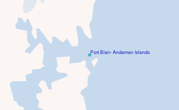
Use this relief map to navigate to tide stations, surf breaks and cities that are in the area of Port Blair, Andaman Islands.
Other Nearby Locations' tide tables and tide charts to Port Blair, Andaman Islands:
click location name for more details
 Surf breaks close to Port Blair, Andaman Islands:
|
||
|---|---|---|
| Closest surf break | Butlers Bay (South Andaman) | 1 mi |
| Second closest surf break | Corbyns Cove (South Andaman) | 4 mi |
| Third closest surf break | Jarawa Point (Totems Reef) | 25 mi |
| Fourth closest surf break | Twin Islands (South Andaman) | 25 mi |
| Fifth closest surf break | Sentinel (South Andaman) | 38 mi |

 Nearest
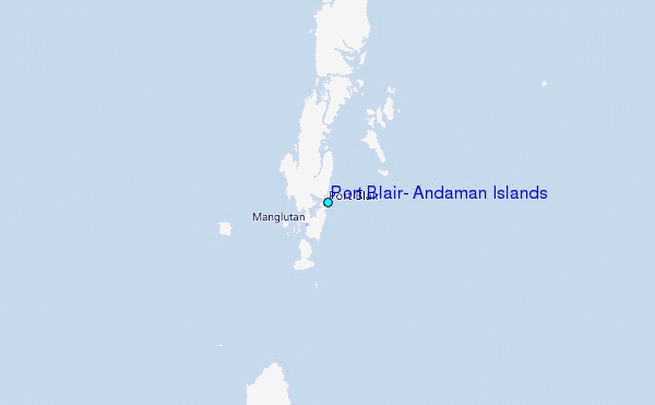