
| Distance / Altitude | Location | Report Date / Time | Live Weather | Wind | Gusts | Temp. | Visibility | Cloud |
|---|---|---|---|---|---|---|---|---|
| 28 km ENE / 24 m | Pointe Noire Cs- Que (Canada) | 2024-04-28 19:00 local (2024/04/28 23:00 GMT) | no report | light winds from the ENE (11 km/h at 70) | 1°C | - | - | |
| 29 km ENE / 322 m | Pointe Noires Airport (Quebec) | 2024-04-28 19:00 local (2024/04/28 23:00 GMT) | - | light winds from the ENE (11 km/h at 70) | 1°C | 0.0 | ||
| 34 km NE / 5 m | Sept-Iles (Canada) | 2024-04-28 20:32 local (2024/04/29 00:32 GMT) | - | light winds from the E (8 km/h at 98) | 2°C | - | - - 0 | |
| 42 km ENE / 217 m | Sept Iles Airport (Quebec) | 2024-04-28 19:00 local (2024/04/28 23:00 GMT) | Light rain | moderate winds from the ENE (20 km/h at 70) | 2°C | 16 | broken overcast | |
| 43 km ENE / 52 m | Sept-Îles (Quebec) | 2024-04-28 19:00 local (2024/04/28 23:00 GMT) | no report | light winds from the ENE (15 km/h at 60) | 1°C | 0.0 | - - - |
| Contours: | Roads & Rivers: | Select a
tide station / surf break / city |
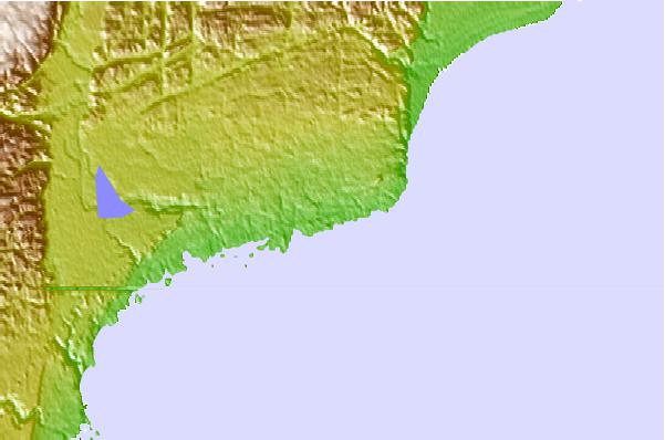
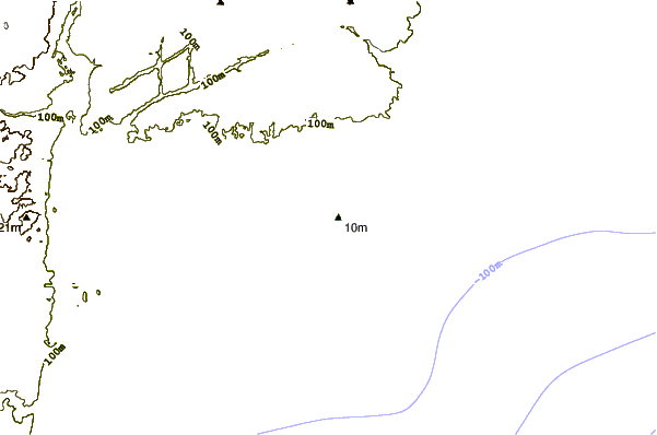
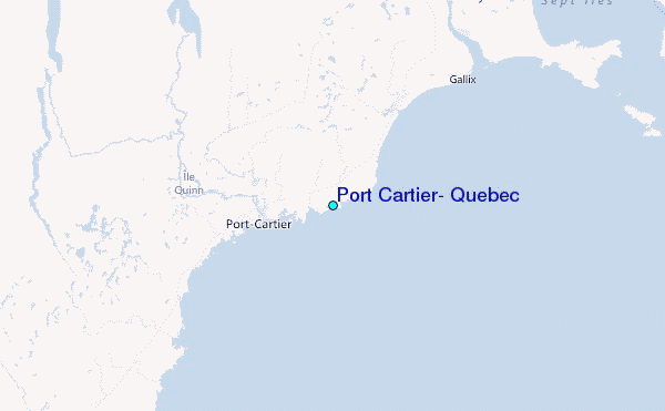
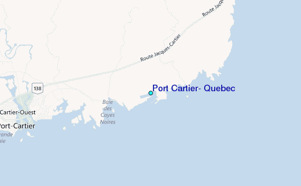
Use this relief map to navigate to tide stations, surf breaks and cities that are in the area of Port Cartier, Quebec.
Other Nearby Locations' tide tables and tide charts to Port Cartier, Quebec:
click location name for more details
 Surf breaks close to Port Cartier, Quebec:
|
||
|---|---|---|
| Closest surf break | Ingonish Beach | 376 mi |
| Second closest surf break | Minutes | 405 mi |
| Third closest surf break | Backyards | 406 mi |
| Fourth closest surf break | Lawrencetown Reef | 406 mi |
| Fifth closest surf break | Lawrencetown Right Point | 406 mi |

 Nearest
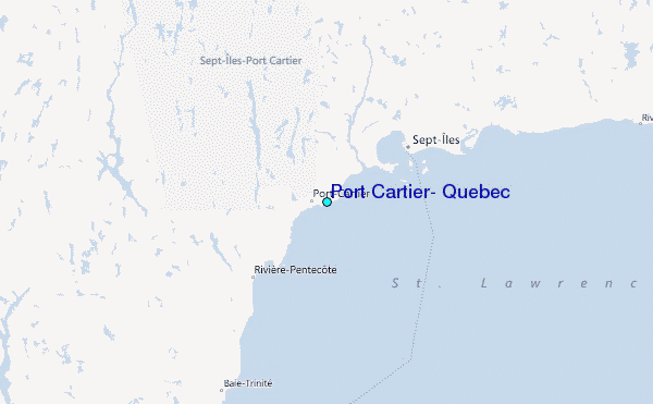