
| Distance / Altitude | Location | Report Date / Time | Live Weather | Wind | Gusts | Temp. | Visibility | Cloud |
|---|---|---|---|---|---|---|---|---|
| 118 km NNE / 217 m | Cape Dorset Airport (N.w. Territories) | 2024-05-02 23:00 local (2024/05/03 03:00 GMT) | Clear | moderate winds from the NE (20 km/h at 40) | -10°C | 14 | ||
| 119 km NNE / 48 m | CapeDorsetA- NU (71366 -0) (Canada) | 2024-05-03 00:00 local (2024/05/03 04:00 GMT) | no report | light winds from the NE (18 km/h at 40) | -11°C | 36 km | - clear - | |
| 292 km SE / 503 m | Parc National Des Pingualuit- Que (Canada) | 2024-05-02 23:00 local (2024/05/03 03:00 GMT) | no report | moderate winds from the ESE (22 km/h at 110) | -9°C | - | - no observation - | |
| 310 km W / 215 m | Coral Harbour Airport (N.w. Territories) | 2024-05-02 23:00 local (2024/05/03 03:00 GMT) | Low drifting moderate snow | fresh winds from the ENE (30 km/h at 70) | -7°C | 24 | scattered broken | |
| 310 km W / 22 m | Coral Harbour Airport (Canada) | 2024-05-02 23:00 local (2024/05/03 03:00 GMT) | no report | fresh winds from the ENE (31 km/h at 70) | -7°C | 44 km | - scattered - |
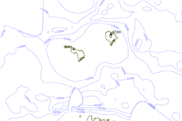
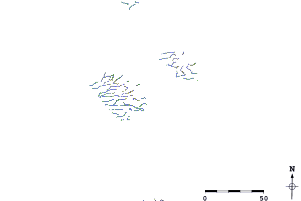
| Contours: | Roads & Rivers: | Select a
tide station / surf break / city |
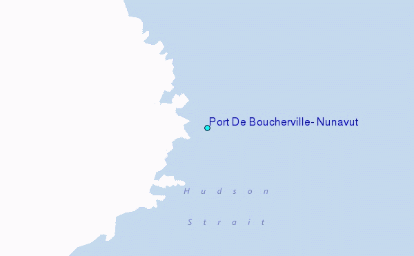
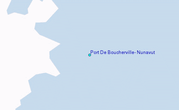
Use this relief map to navigate to tide stations, surf breaks and cities that are in the area of Port De Boucherville, Nunavut.
Other Nearby Locations' tide tables and tide charts to Port De Boucherville, Nunavut:
click location name for more details
 Surf breaks close to Port De Boucherville, Nunavut:
|
||
|---|---|---|
| Closest surf break | Marathon | 1061 mi |
| Second closest surf break | Alona Bay | 1147 mi |
| Third closest surf break | Keweenaw Peninsula | 1167 mi |
| Fourth closest surf break | Au Sable Point | 1194 mi |
| Fifth closest surf break | Grand Marias | 1194 mi |

 Nearest
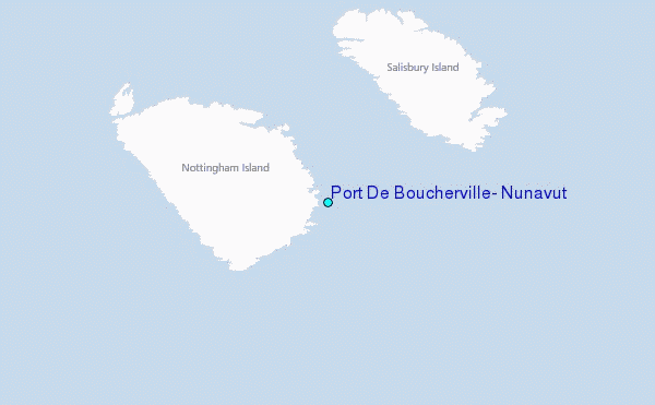