
| Distance / Altitude | Location | Report Date / Time | Live Weather | Wind | Gusts | Temp. | Visibility | Cloud |
|---|---|---|---|---|---|---|---|---|
| 6 km S / 7 m | Saint-Pierre (Saint Pierre and Miquelon) | 2024-04-29 00:30 local (2024/04/29 03:00 GMT) | Continuous light drizzle | fresh winds from the NNE (35 km/h at 20) | 3°C | 27 km | overcast | |
| 62 km E / 48 m | ST Lawrence- Nfld (Canada) | 2024-04-29 00:30 local (2024/04/29 03:00 GMT) | no report | moderate winds from the ENE (24 km/h at 60) | 4°C | - | - no observation - | |
| 68 km NNE / 13 m | Sagona Island Airport (Newfoundland) | 2024-04-28 23:30 local (2024/04/29 02:00 GMT) | - | moderate winds from the NNE (28 km/h at 20) | 3°C | 0.0 | ||
| 68 km NNE / 60 m | Sagona Island- Nfld (Canada) | 2024-04-29 00:30 local (2024/04/29 03:00 GMT) | no report | moderate winds from the NNE (26 km/h at 20) | 3°C | - | - no observation - | |
| 84 km ENE / 1 m | Marystown wx (Canada) | 2024-04-29 01:19 local (2024/04/29 03:49 GMT) | - | calm (0 km/h at 83) | 6°C | - | - - 0 |
| Contours: | Roads & Rivers: | Select a
tide station / surf break / city |
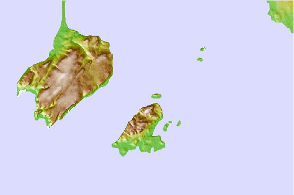
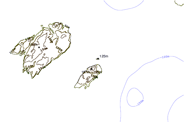
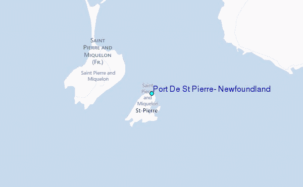
Use this relief map to navigate to tide stations, surf breaks and cities that are in the area of Port De St Pierre, Newfoundland.
Other Nearby Locations' tide tables and tide charts to Port De St Pierre, Newfoundland:
click location name for more details
 Surf breaks close to Port De St Pierre, Newfoundland:
|
||
|---|---|---|
| Closest surf break | Kennington Cove | 196 mi |
| Second closest surf break | Ingonish Beach | 200 mi |
| Third closest surf break | Michaud Point | 232 mi |
| Fourth closest surf break | Martinique | 367 mi |
| Fifth closest surf break | Lawrencetown Left Point | 376 mi |

 Nearest
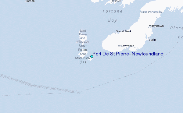