
| Distance / Altitude | Location | Report Date / Time | Live Weather | Wind | Gusts | Temp. | Visibility | Cloud |
|---|---|---|---|---|---|---|---|---|
| 29 km NE / 3 m | BUOY-GISL1 (Marine) | 2024-04-29 02:48 local (2024/04/29 07:48 GMT) | moderate winds from the SE (22 km/h at 130) | 23°C | - | |||
| 30 km SSE / 3 m | Louisiana Offshore Oil Port- LA (Marine) | 2024-04-29 02:19 local (2024/04/29 07:19 GMT) | strong winds from the SSE (42 km/h at 160) | 24°C | - | |||
| 55 km ESE / 3 m | BUOY-42084 (Marine) | 2024-04-29 02:30 local (2024/04/29 07:30 GMT) | - (- km/h at -) | 23°C | - | |||
| 61 km NNE / 3 m | SHIP14108 (Marine) | 2024-04-29 02:00 local (2024/04/29 07:00 GMT) | - (- km/h at -) | 22°C | - | |||
| 66 km WNW / 4 m | Houma (Louisiana) | 2024-04-29 02:37 local (2024/04/29 07:37 GMT) | dry | light winds from the SE (14 km/h at 135) | 24°C | - | - - 0 |
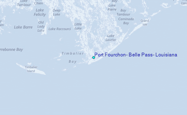
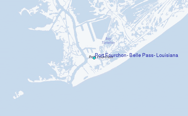
Choose Port Fourchon, Belle Pass, Louisiana Location Map Zoom:
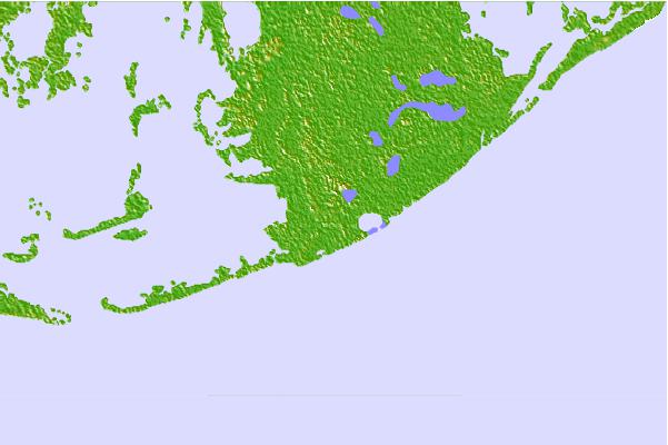
| Contours: | Roads & Rivers: | Select a
tide station / surf break / city |

Use this relief map to navigate to tide stations, surf breaks and cities that are in the area of Port Fourchon, Belle Pass, Louisiana.
Other Nearby Locations' tide tables and tide charts to Port Fourchon, Belle Pass, Louisiana:
click location name for more details
 Surf breaks close to Port Fourchon, Belle Pass, Louisiana:
|
||
|---|---|---|
| Closest surf break | Chandeleur Islands | 96 mi |
| Second closest surf break | Dauphin Island Pier | 150 mi |
| Third closest surf break | West Pass | 167 mi |
| Fourth closest surf break | Terry s Cove | 177 mi |
| Fifth closest surf break | Alabama Point | 178 mi |

 Nearest
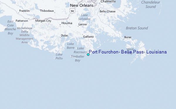