
| Distance / Altitude | Location | Report Date / Time | Live Weather | Wind | Gusts | Temp. | Visibility | Cloud |
|---|---|---|---|---|---|---|---|---|
| 21 km WNW / 306 m | Port Harcourt Airport (Nigeria) | 2024-05-01 16:00 local (2024/05/01 15:00 GMT) | Thunderstorm light rain thunderstorm | moderate winds from the WSW (20 km/h at 240) | 31°C | 4.0 | broken few - | |
| 79 km N / 114 m | Sam Mbakwe International Cargo Airport (Nigeria) | 2024-05-01 17:00 local (2024/05/01 16:00 GMT) | Dry and partly cloudy | moderate winds from the SSW (24 km/h at 200) | 33°C | 10.0 | broken few | |
| 207 km ESE / 56 m | Malabo/Fernando Poo Airport (Equatorial Guinea) | 2024-05-01 16:00 local (2024/05/01 15:00 GMT) | State of sky unchanged | light winds from the SW (11 km/h at 220) | 31°C | 30 km | - mostly cloudy - | |
| 291 km ESE / 1 m | DoualaR.s. (Cameroon) | 2024-05-01 16:00 local (2024/05/01 15:00 GMT) | - | light winds from the WSW (15 km/h at 240) | 33°C | 30 km | mostly cloudy | |
| 294 km ESE / 209 m | Douala Airport (Cameroon) | 2024-05-01 14:30 local (2024/05/01 13:30 GMT) | Dry and partly cloudy | wind obs. (9 kph from 1 degs) was rejected (- km/h at -) | 34°C | 10.0 | scattered few - |
| Contours: | Roads & Rivers: | Select a
tide station / surf break / city |
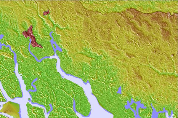
Use this relief map to navigate to tide stations, surf breaks and cities that are in the area of Port Harcourt.
Other Nearby Locations' tide tables and tide charts to Port Harcourt:
click location name for more details
 Surf breaks close to Port Harcourt:
|
||
|---|---|---|
| Closest surf break | Seme Beach Limbe | 144 mi |
| Second closest surf break | Kribi | 226 mi |
| Third closest surf break | Lighthouse Beach | 284 mi |
| Fourth closest surf break | Tarqua Bay | 285 mi |
| Fifth closest surf break | Shipwreck | 301 mi |

 Nearest