
| Distance / Altitude | Location | Report Date / Time | Live Weather | Wind | Gusts | Temp. | Visibility | Cloud |
|---|---|---|---|---|---|---|---|---|
| 1 km E / 8 m | Kem Port (Russian Federation) | 2024-04-29 06:00 local (2024/04/29 03:00 GMT) | intermittent light rain | light winds from the NNE (7 km/h at 30) | -1°C | 10 | - overcast - | |
| 43 km E / 7 m | Solovki (Russia) | 2024-04-29 06:00 local (2024/04/29 03:00 GMT) | no report | light winds from the ENE (18 km/h at 60) | -1°C | 20 | - mostly cloudy - | |
| 45 km E / 13 m | Solovetsky wx (Russia) | 2024-04-29 07:07 local (2024/04/29 04:07 GMT) | - | light winds from the NE (8 km/h at 48) | 0°C | - | - - 0 | |
| 48 km S / 9 m | Raznavolok (Russia) | 2024-04-29 06:00 local (2024/04/29 03:00 GMT) | no report | light winds from the N (11 km/h at 360) | 0°C | 20 | - - - | |
| 98 km NW / 80 m | Engozero (Russia) | 2024-04-29 06:00 local (2024/04/29 03:00 GMT) | no report | light winds from the ENE (11 km/h at 70) | -3°C | 20 | - mostly cloudy - |
| Contours: | Roads & Rivers: | Select a
tide station / surf break / city |
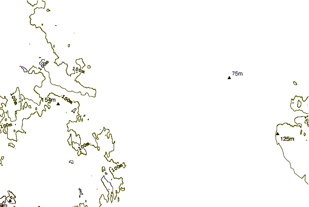
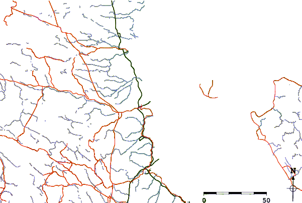
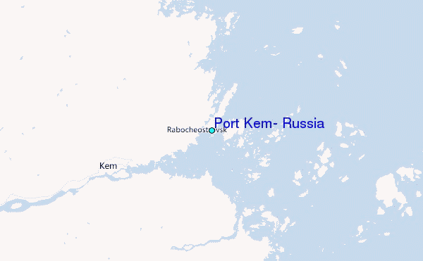
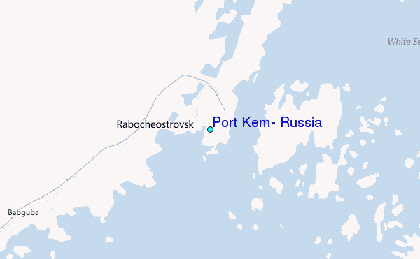
Use this relief map to navigate to tide stations, surf breaks and cities that are in the area of Port Kem, Russia.
Other Nearby Locations' tide tables and tide charts to Port Kem, Russia:
click location name for more details
 Surf breaks close to Port Kem, Russia:
|
||
|---|---|---|
| Closest surf break | Пляж Ласковый (Laskovyy Plyazh) | 369 mi |
| Second closest surf break | Sestrorezk Dunes | 369 mi |
| Third closest surf break | Мыс Флотский (Flotskiy lighthouse) | 378 mi |
| Fourth closest surf break | Poliisinlahti | 474 mi |
| Fifth closest surf break | Yyteri Bay | 474 mi |

 Nearest
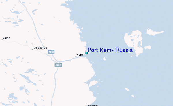