
| Distance / Altitude | Location | Report Date / Time | Live Weather | Wind | Gusts | Temp. | Visibility | Cloud |
|---|---|---|---|---|---|---|---|---|
| 42 km SW / 14 m | Groote Eylandt Airport Aws (Australia) | 2024-04-29 10:30 local (2024/04/29 01:00 GMT) | no report | light winds from the ESE (17 km/h at 120) | 29°C | - | - no observation - | |
| 176 km N / 481 m | Gove Airport (Australia) | 2024-04-29 10:30 local (2024/04/29 01:00 GMT) | - | moderate winds from the E (22 km/h at 100) | 29°C | - | no observation | |
| 208 km S / 21 m | Centre Island (Australia) | 2024-04-29 10:30 local (2024/04/29 01:00 GMT) | no report | fresh winds from the ESE (31 km/h at 120) | 29°C | - | - no observation - | |
| 244 km SW / 16 m | Ngukurr Airport (Australia) | 2024-04-29 10:30 local (2024/04/29 01:00 GMT) | no report | light winds from the ESE (13 km/h at 120) | 29°C | - | - no observation - | |
| 248 km NW / 9 m | Ngayawili (Australia) | 2024-04-29 10:30 local (2024/04/29 01:00 GMT) | - | light winds from the SE (17 km/h at 140) | 30°C | - | no observation |
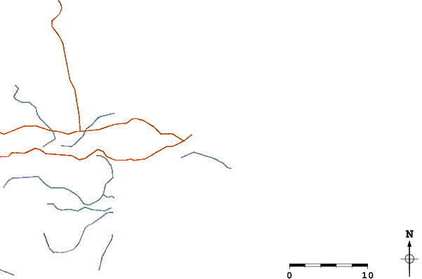
| Contours: | Roads & Rivers: | Select a
tide station / surf break / city |
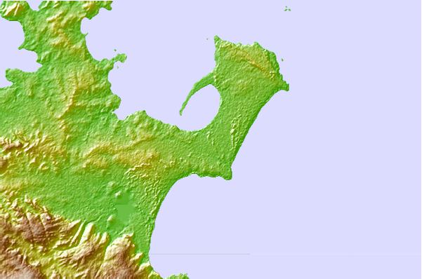
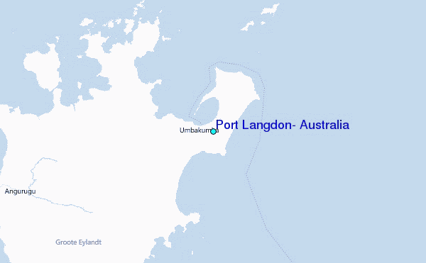
Use this relief map to navigate to tide stations, surf breaks and cities that are in the area of Port Langdon, Australia.
Other Nearby Locations' tide tables and tide charts to Port Langdon, Australia:
click location name for more details
 Surf breaks close to Port Langdon, Australia:
|
||
|---|---|---|
| Closest surf break | Rapid Creek - Bar | 415 mi |
| Second closest surf break | Rapid Creek - Beach | 415 mi |
| Third closest surf break | Rapid Creek - Reef | 416 mi |
| Fourth closest surf break | Fannie Bay | 416 mi |
| Fifth closest surf break | Casuarina (Darwin) | 417 mi |

 Nearest
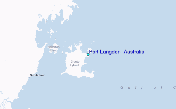