
| Distance / Altitude | Location | Report Date / Time | Live Weather | Wind | Gusts | Temp. | Visibility | Cloud |
|---|---|---|---|---|---|---|---|---|
| 164 km E / 10 m | ArcticBayCs- NU (Canada) | 2024-05-01 23:00 local (2024/05/02 03:00 GMT) | - | light winds from the SSE (7 km/h at 160) | -13°C | - | - no observation - | |
| 164 km E / 2 m | Arctic Bay Airport (N.w. Territories) | 2024-05-01 23:00 local (2024/05/02 03:00 GMT) | - | light winds from the SSE (7 km/h at 160) | -13°C | 0.0 | ||
| 183 km SSW / 10 m | FortRoss-NU (Canada) | 2024-05-01 23:00 local (2024/05/02 03:00 GMT) | - | light winds from the SE (19 km/h at 140) | -14°C | - | no observation | |
| 237 km WNW / 113 m | ResoluteUa-NU (Canada) | 2024-05-01 23:00 local (2024/05/02 03:00 GMT) | - | light winds from the S (17 km/h at 180) | -14°C | 50 km | overcast | |
| 238 km WNW / 139 m | Resolute (Canada) | 2024-05-01 23:00 local (2024/05/02 03:00 GMT) | - | light winds from the S (15 km/h at 180) | -14°C | - | no observation |
| Contours: | Roads & Rivers: | Select a
tide station / surf break / city |
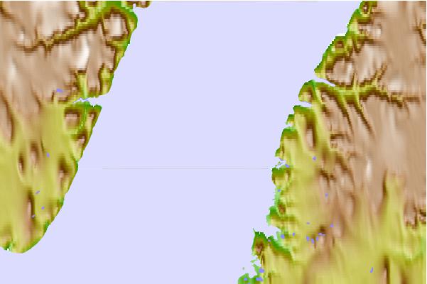
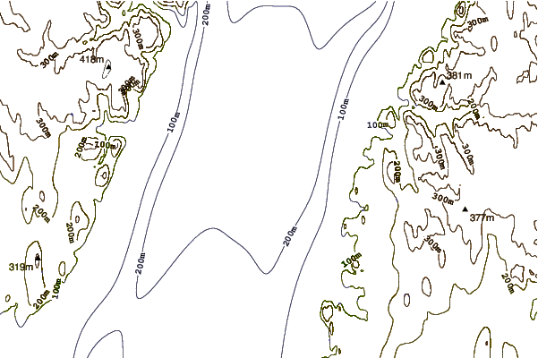
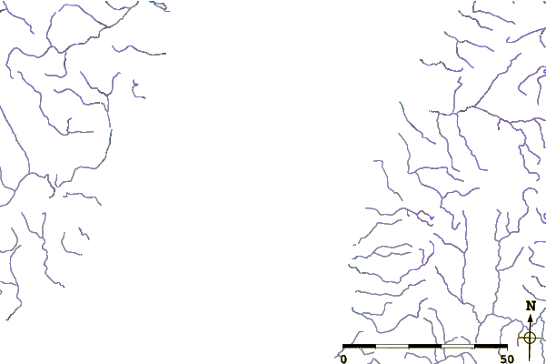
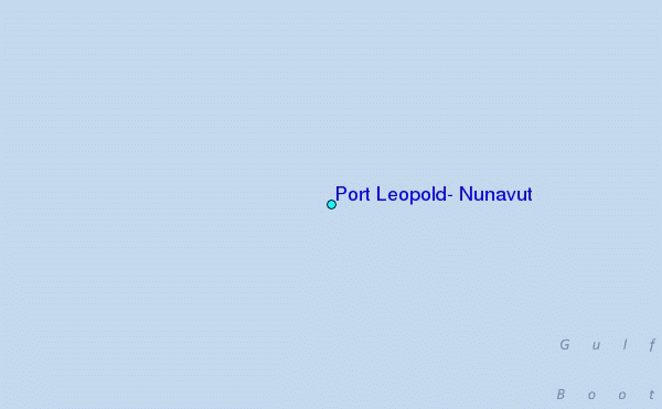
Use this relief map to navigate to tide stations, surf breaks and cities that are in the area of Port Leopold, Nunavut.
Other Nearby Locations' tide tables and tide charts to Port Leopold, Nunavut:
click location name for more details
 Surf breaks close to Port Leopold, Nunavut:
|
||
|---|---|---|
| Closest surf break | Graveyards | 1600 mi |
| Second closest surf break | Cannon Beach | 1602 mi |
| Third closest surf break | Ocean Cape | 1602 mi |
| Fourth closest surf break | Marathon | 1687 mi |
| Fifth closest surf break | Eyvik | 1705 mi |

 Nearest
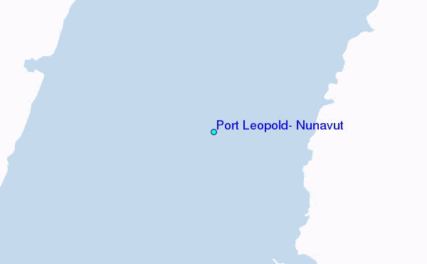