
| Distance / Altitude | Location | Report Date / Time | Live Weather | Wind | Gusts | Temp. | Visibility | Cloud |
|---|---|---|---|---|---|---|---|---|
| 15 km SE / 22 m | Blanchet wx (Guadeloupe) | 2024-05-03 20:38 local (2024/05/04 00:38 GMT) | - | calm (0 km/h at 16) | 26°C | - | - - 0 | |
| 17 km S / 215 m | Le Raizet Airport (Lesser Antilles) | 2024-05-03 19:30 local (2024/05/03 23:30 GMT) | - | light winds from the ESE.(Wind varies from 090 to 160 degs) (11 km/h at 120) | — | 0.0 | ||
| 17 km S / 9 m | Pointe-à-Pitre International Airport (Guadeloupe, Saint Martin, Saint Barthelemy and other French islands in the vicinity) | 2024-05-03 20:00 local (2024/05/04 00:00 GMT) | no report | light winds from the SE (14 km/h at 140) | 29°C | - | - | |
| 81 km NW / 6 m | Renfrew (Antigua and Barbuda) | 2024-05-03 20:44 local (2024/05/04 00:44 GMT) | dry | calm (3 km/h at 222) | 27°C | - | - - 0 | |
| 83 km NW / 211 m | Coolidge/Antigua Airport (Lesser Antilles) | 2024-05-03 19:00 local (2024/05/03 23:00 GMT) | Dry and partly cloudy | light winds from the SE.(Wind varies from 090 to 200 degs) (7 km/h at 140) | 28°C | 10.0 | few broken |
| Contours: | Roads & Rivers: | Select a
tide station / surf break / city |
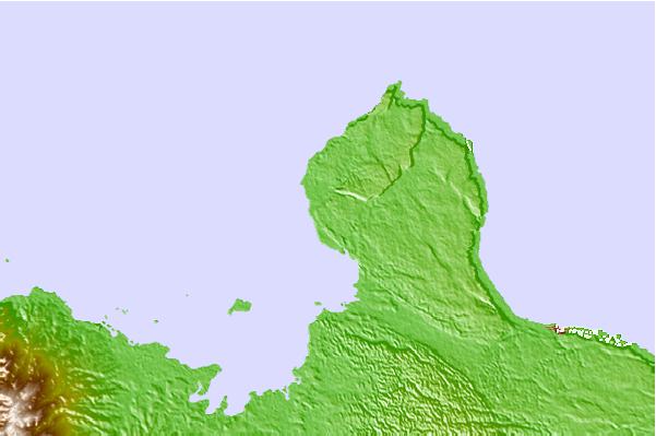
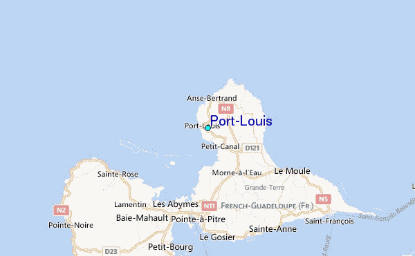
Use this relief map to navigate to tide stations, surf breaks and cities that are in the area of Port-Louis.
Other Nearby Locations' tide tables and tide charts to Port-Louis:
click location name for more details
 Surf breaks close to Port-Louis:
|
||
|---|---|---|
| Closest surf break | Antigues Cape | 2 mi |
| Second closest surf break | Port Louis | 2 mi |
| Third closest surf break | Plombier | 4 mi |
| Fourth closest surf break | Anse Bertrand | 4 mi |
| Fifth closest surf break | L'Abbatoir | 4 mi |

 Nearest
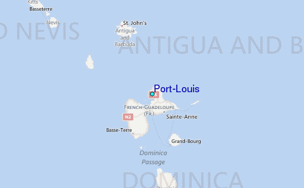