
| Distance / Altitude | Location | Report Date / Time | Live Weather | Wind | Gusts | Temp. | Visibility | Cloud |
|---|---|---|---|---|---|---|---|---|
| 52 km SSE / 191 m | Kingston/Norman Manley International Airport (Jamaica) | 2024-05-02 07:00 local (2024/05/02 12:00 GMT) | Dry and partly cloudy | light winds from the N (6 km/h at 350) | 28°C | 10.0 | few broken | |
| 53 km SSE / 15 m | SHIP3971 (Marine) | 2024-05-02 07:00 local (2024/05/02 12:00 GMT) | - (- km/h at -) | — | - km | |||
| 108 km WSW / 193 m | Sangster/Montego Bay Airport (Jamaica) | 2024-05-02 07:00 local (2024/05/02 12:00 GMT) | Dry and partly cloudy | light winds from the ESE (9 km/h at 110) | 25°C | 10.0 | few scattered | |
| 152 km WSW / 30 m | Negril (Jamaica) | 2024-05-02 08:10 local (2024/05/02 13:10 GMT) | dry | calm (2 km/h at 124) | 28°C | - | - - 0 | |
| 210 km NNE / 209 m | Santiago De Cuba Airport (Cuba) | 2024-05-02 06:50 local (2024/05/02 11:50 GMT) | Dry and partly cloudy | light winds from the NW.(Wind varies from 290 to 360 degs) (7 km/h at 320) | 24°C | 9.0 | few broken |
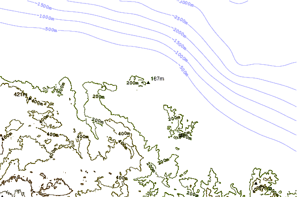
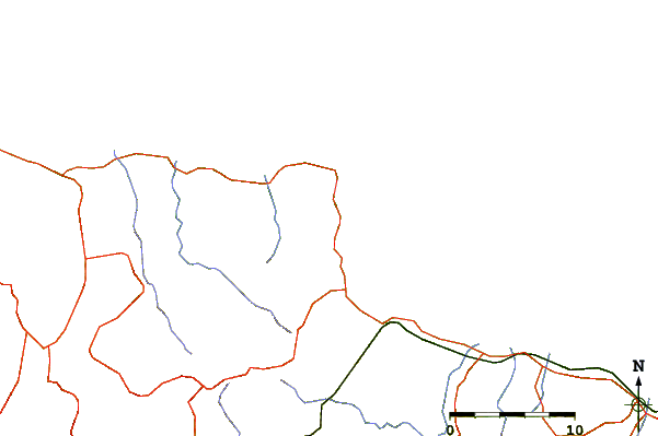
| Contours: | Roads & Rivers: | Select a
tide station / surf break / city |
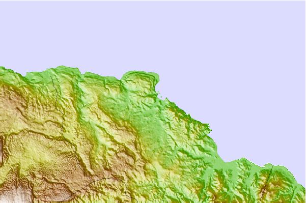
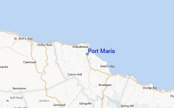
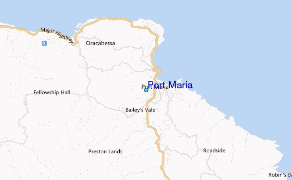
Use this relief map to navigate to tide stations, surf breaks and cities that are in the area of Port Maria.
Other Nearby Locations' tide tables and tide charts to Port Maria:
click location name for more details
 Surf breaks close to Port Maria:
|
||
|---|---|---|
| Closest surf break | Peenie Wally | 19 mi |
| Second closest surf break | Runaway Bay | 29 mi |
| Third closest surf break | Lighthouse 2 | 32 mi |
| Fourth closest surf break | Navy Island | 32 mi |
| Fifth closest surf break | Zoo (Bull Bay) | 32 mi |

 Nearest
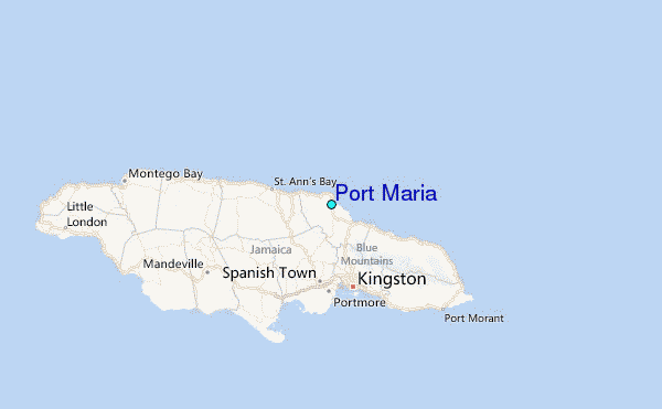