
| Distance / Altitude | Location | Report Date / Time | Live Weather | Wind | Gusts | Temp. | Visibility | Cloud |
|---|---|---|---|---|---|---|---|---|
| 63 km W / 111 m | Dumont Durville (Antarctica (ay)) | 2024-04-28 19:00 local (2024/04/28 09:00 GMT) | - | light winds from the E (17 km/h at 100) | -25°C | 40 km | few | |
| 1044 km SE / 1925 m | Priestley Glacier (stations operated by Italy) | 2024-04-28 18:00 local (2024/04/28 08:00 GMT) | - | light winds from the WNW (11 km/h at 300) | -42°C | - | no observation | |
| 1125 km S / 3250 m | Dome C II (Antarctica) | 2024-04-28 18:00 local (2024/04/28 08:00 GMT) | no report | - (- km/h at -) | -72°C | - | - | |
| 1198 km SSE / 93 m | MarioZuchelliStation (Baia Terra Nova) (Antarctica) | 2024-04-28 19:00 local (2024/04/28 09:00 GMT) | - | near gales from the W (57 km/h at 260) | -18°C | - | - no observation - | |
| 1242 km SW / 1314 m | Law Dome Summit (Antarctica (ay)) | 2024-04-28 17:00 local (2024/04/28 07:00 GMT) | - | light winds from the WSW (7 km/h at 240) | -35°C | - | no observation |
| Contours: | Roads & Rivers: | Select a
tide station / surf break / city |
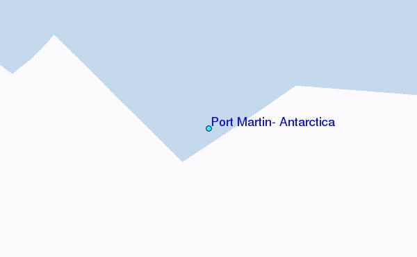
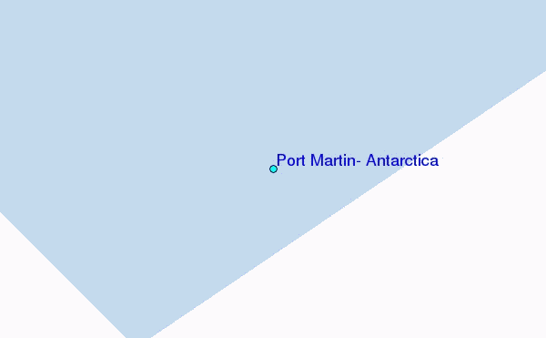
Use this relief map to navigate to tide stations, surf breaks and cities that are in the area of Port Martin, Antarctica.
Other Nearby Locations' tide tables and tide charts to Port Martin, Antarctica:
click location name for more details
 Surf breaks close to Port Martin, Antarctica:
|
||
|---|---|---|
| Closest surf break | Bruny Island - Lighthouse Bay | 1626 mi |
| Second closest surf break | Bruny Island - Mabel Bay | 1627 mi |
| Third closest surf break | Bruny Island - Lagoons | 1630 mi |
| Fourth closest surf break | Bruny Island - Jawbones | 1630 mi |
| Fifth closest surf break | Bruny Island - Cloudy Bay | 1631 mi |

 Nearest
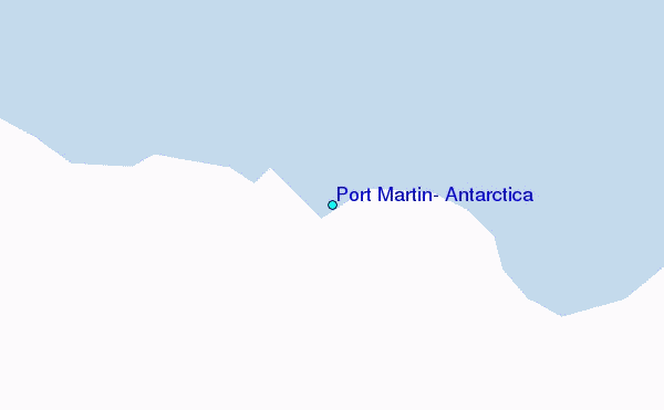