
| Distance / Altitude | Location | Report Date / Time | Live Weather | Wind | Gusts | Temp. | Visibility | Cloud |
|---|---|---|---|---|---|---|---|---|
| 48 km WSW / 191 m | Kingston/Norman Manley International Airport (Jamaica) | 2024-04-29 15:00 local (2024/04/29 20:00 GMT) | - | fresh winds from the SE (35 km/h at 140) | 31°C | 10.0 | few few | |
| 127 km NE / 15 m | SHIP2329 (Marine) | 2024-04-29 16:00 local (2024/04/29 21:00 GMT) | - (- km/h at -) | — | - km | |||
| 181 km W / 193 m | Sangster/Montego Bay Airport (Jamaica) | 2024-04-29 15:00 local (2024/04/29 20:00 GMT) | Dry and partly cloudy | moderate winds from the ENE (26 km/h at 60) | 30°C | 10.0 | scattered | |
| 219 km W / 30 m | Negril (Jamaica) | 2024-04-29 16:30 local (2024/04/29 21:30 GMT) | dry | calm (0 km/h at 271) | 31°C | - | - - 0 | |
| 238 km NNE / 209 m | Santiago De Cuba Airport (Cuba) | 2024-04-29 14:50 local (2024/04/29 19:50 GMT) | Shower - in the vicinity | moderate winds from the SE.(Wind varies from 090 to 170 degs) (26 km/h at 130) | 28°C | 9.0 | scattered |
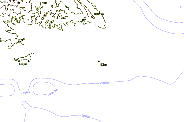
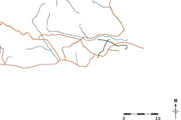
| Contours: | Roads & Rivers: | Select a
tide station / surf break / city |
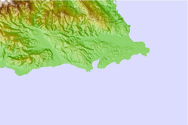
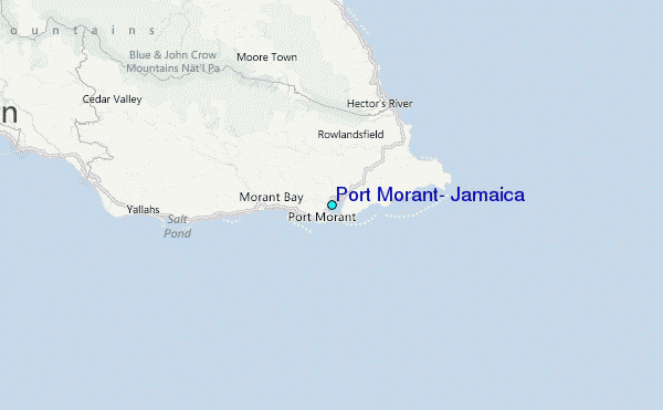
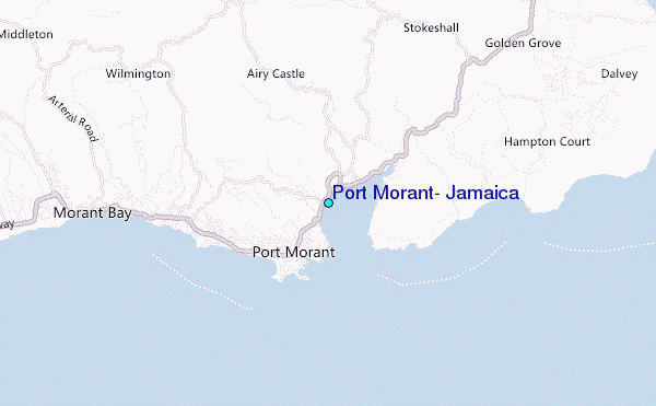
Use this relief map to navigate to tide stations, surf breaks and cities that are in the area of Port Morant, Jamaica.
Other Nearby Locations' tide tables and tide charts to Port Morant, Jamaica:
click location name for more details
 Surf breaks close to Port Morant, Jamaica:
|
||
|---|---|---|
| Closest surf break | The Ranch | 10 mi |
| Second closest surf break | Long Bay | 15 mi |
| Third closest surf break | Makka | 16 mi |
| Fourth closest surf break | Boston Bay | 17 mi |
| Fifth closest surf break | Winnifred Beach | 20 mi |

 Nearest
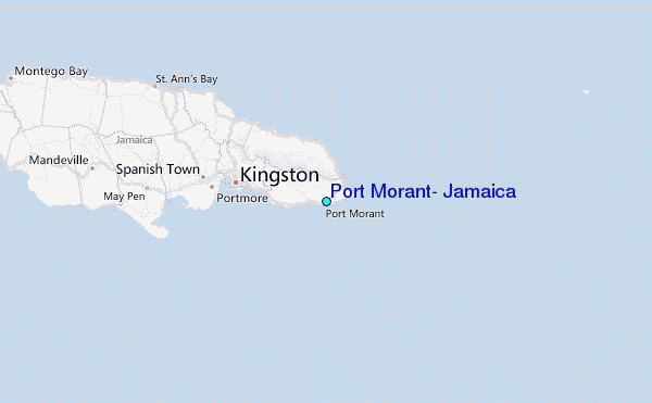