
| Distance / Altitude | Location | Report Date / Time | Live Weather | Wind | Gusts | Temp. | Visibility | Cloud |
|---|---|---|---|---|---|---|---|---|
| 12 km NE / 359 m | Port Moresby International Airport (Papua New Guinea) | 2024-04-29 04:00 local (2024/04/28 18:00 GMT) | - | light winds from the SSE (11 km/h at 150) | 26°C | 10.0 | few | |
| 14 km NE / 48 m | Port Moresby (Papua New Guinea) | 2024-04-29 04:00 local (2024/04/28 18:00 GMT) | no report | light winds from the SE (9 km/h at 140) | 28°C | 20 | - | |
| 408 km N / 69 m | Mount Hagen Airport (Papua New Guinea) | 2024-04-29 05:00 local (2024/04/28 19:00 GMT) | - | calm (0 km/h at 0) | — | 10.0 | broken | |
| 436 km E / 15 m | SHIP12341 (Marine) | 2024-04-29 04:00 local (2024/04/28 18:00 GMT) | - (- km/h at -) | — | - km | |||
| 450 km WSW / 4 m | Coconut Island (Australia) | 2024-04-29 04:00 local (2024/04/28 18:00 GMT) | no report | - (- km/h at -) | 28°C | - | - |
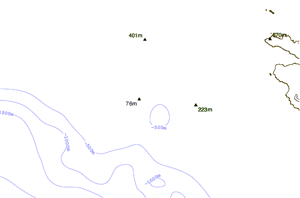
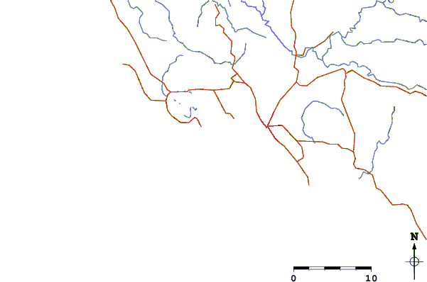
| Contours: | Roads & Rivers: | Select a
tide station / surf break / city |
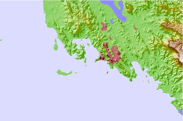
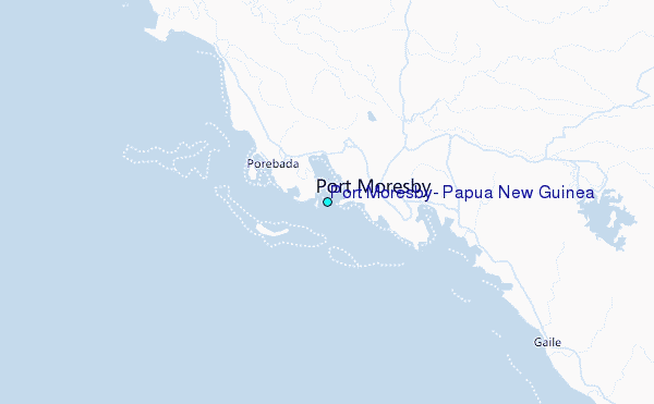
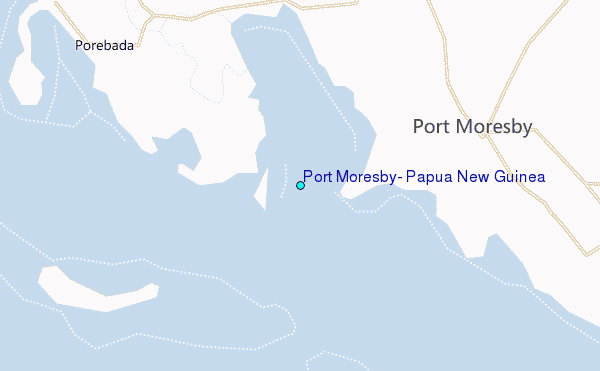
Use this relief map to navigate to tide stations, surf breaks and cities that are in the area of Port Moresby, Papua New Guinea.
Other Nearby Locations' tide tables and tide charts to Port Moresby, Papua New Guinea:
click location name for more details
 Surf breaks close to Port Moresby, Papua New Guinea:
|
||
|---|---|---|
| Closest surf break | Tupira Right | 367 mi |
| Second closest surf break | Forok Point | 467 mi |
| Third closest surf break | Moem Point | 473 mi |
| Fourth closest surf break | The Wharf (Mission Point) | 473 mi |
| Fifth closest surf break | Wewak Point | 475 mi |

 Nearest
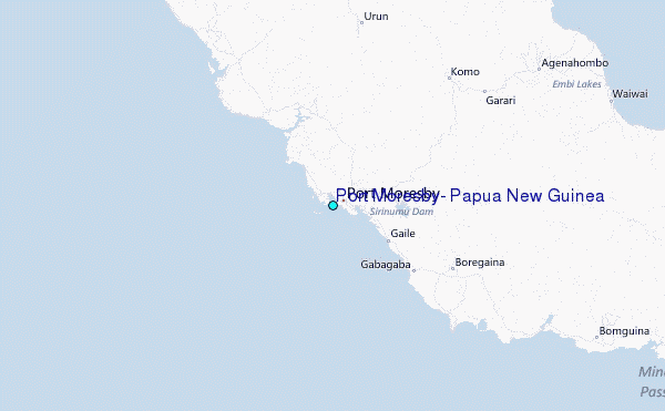