
| Distance / Altitude | Location | Report Date / Time | Live Weather | Wind | Gusts | Temp. | Visibility | Cloud |
|---|---|---|---|---|---|---|---|---|
| 68 km S / 15 m | ASCATC147E3S (Marine) | 2024-05-04 21:59 local (2024/05/04 11:59 GMT) | light winds from the N (16 km/h at 7) | — | - km | |||
| 76 km WNW / 15 m | ASCATC147E2S (Marine) | 2024-05-04 21:59 local (2024/05/04 11:59 GMT) | light winds from the ENE (9 km/h at 68) | — | - km | |||
| 86 km NE / 15 m | ASCATC148E2S (Marine) | 2024-05-04 21:59 local (2024/05/04 11:59 GMT) | light winds from the WSW (13 km/h at 244) | — | - km | |||
| 105 km SW / 15 m | ASCATC146E3S (Marine) | 2024-05-04 21:59 local (2024/05/04 11:59 GMT) | light winds from the N (15 km/h at 11) | — | - km | |||
| 127 km W / 15 m | ASCATC146E2S (Marine) | 2024-05-04 21:59 local (2024/05/04 11:59 GMT) | light winds from the NE (16 km/h at 50) | — | - km |
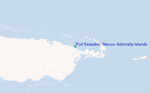
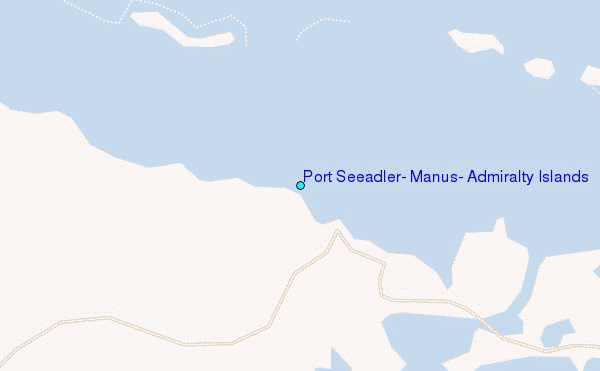
Choose Port Seeadler, Manus, Admiralty Islands Location Map Zoom:
| Contours: | Roads & Rivers: | Select a
tide station / surf break / city |
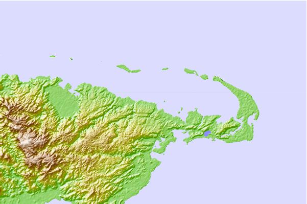
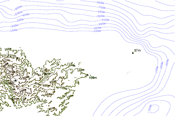
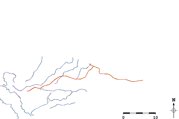
Use this relief map to navigate to tide stations, surf breaks and cities that are in the area of Port Seeadler, Manus, Admiralty Islands.
Other Nearby Locations' tide tables and tide charts to Port Seeadler, Manus, Admiralty Islands:
click location name for more details
 Surf breaks close to Port Seeadler, Manus, Admiralty Islands:
|
||
|---|---|---|
| Closest surf break | Tupira Right | 211 mi |
| Second closest surf break | Edmago | 242 mi |
| Third closest surf break | Long Long | 245 mi |
| Fourth closest surf break | Nago | 245 mi |
| Fifth closest surf break | Kavieng Rights | 246 mi |

 Nearest
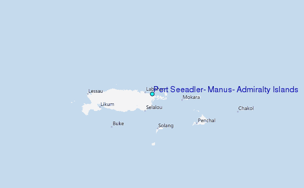