
| Distance / Altitude | Location | Report Date / Time | Live Weather | Wind | Gusts | Temp. | Visibility | Cloud |
|---|---|---|---|---|---|---|---|---|
| 11 km E / 22 m | Kippens (Canada) | 2024-05-03 23:01 local (2024/05/04 01:31 GMT) | dry | calm (0 km/h at 82) | 4°C | - | - - 0 | |
| 14 km E / 42 m | StephenvilleUa-Nfld (Canada) | 2024-05-03 21:30 local (2024/05/04 00:00 GMT) | No report | light winds from the ENE (17 km/h at 60) | 5°C | 44 km | - no observation - | |
| 16 km ESE / 217 m | Stephenville Airport (Newfoundland) | 2024-05-03 21:30 local (2024/05/04 00:00 GMT) | Dry and partly cloudy | fresh winds from the ENE (31 km/h at 60) | 5°C | 24 | few broken broken | |
| 120 km S / 3 m | SHIP905 (Marine) | 2024-05-03 20:30 local (2024/05/03 23:00 GMT) | fresh winds from the ESE (37 km/h at 110) | 9°C | - | |||
| 124 km NE / 217 m | Deer Lake Airport (Newfoundland) | 2024-05-03 21:30 local (2024/05/04 00:00 GMT) | Dry and cloudy | moderate winds from the NE (28 km/h at 50) | 1°C | 16 | overcast |
| Contours: | Roads & Rivers: | Select a
tide station / surf break / city |
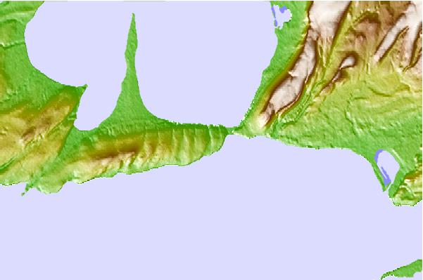
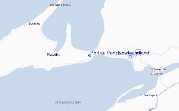
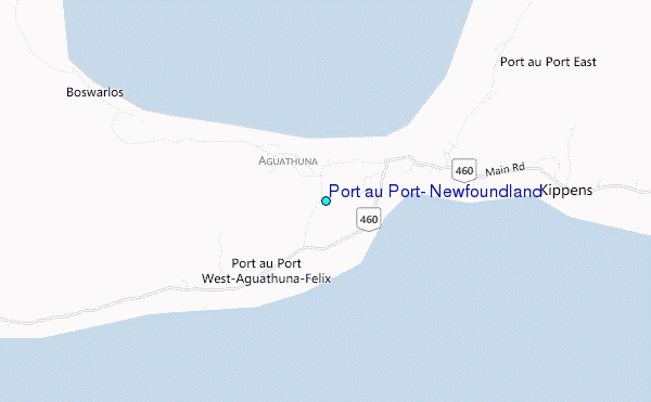
Use this relief map to navigate to tide stations, surf breaks and cities that are in the area of Port au Port, Newfoundland.
Other Nearby Locations' tide tables and tide charts to Port au Port, Newfoundland:
click location name for more details
 Surf breaks close to Port au Port, Newfoundland:
|
||
|---|---|---|
| Closest surf break | Ingonish Beach | 153 mi |
| Second closest surf break | Kennington Cove | 195 mi |
| Third closest surf break | Michaud Point | 226 mi |
| Fourth closest surf break | Martinique | 339 mi |
| Fifth closest surf break | Lawrencetown Left Point | 347 mi |

 Nearest
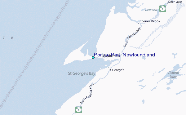