
| Distance / Altitude | Location | Report Date / Time | Live Weather | Wind | Gusts | Temp. | Visibility | Cloud |
|---|---|---|---|---|---|---|---|---|
| 9 km W / 31 m | Peterculter wx (United Kingdom) | 2024-04-28 20:43 local (2024/04/28 19:43 GMT) | dry | calm (5 km/h at 288) | 6°C | - | - - 0 | |
| 17 km NW / 219 m | Aberdeen/Dyce Airport (United Kingdom) | 2024-04-28 20:20 local (2024/04/28 19:20 GMT) | Dry and partly cloudy | moderate winds from the WNW (28 km/h at 290) | 5°C | 10.0 | no cloud | |
| 17 km NW / 66 m | Dyce (United Kingdom) | 2024-04-28 21:00 local (2024/04/28 20:00 GMT) | Rain and snow or hail | moderate winds from the WNW (26 km/h at 290) | 5°C | >70 km | overcast | |
| 24 km S / 134 m | Inverbervie (saws) (United Kingdom) | 2024-04-28 21:00 local (2024/04/28 20:00 GMT) | snow | fresh winds from the WNW (31 km/h at 290) | 5°C | 60 km | - overcast - | |
| 31 km NW / 69 m | Inverurie wx (United Kingdom) | 2024-04-28 20:37 local (2024/04/28 19:37 GMT) | dry | light winds from the NW (11 km/h at 312) | 4°C | - | - - 0 |
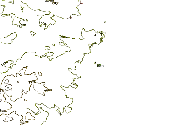
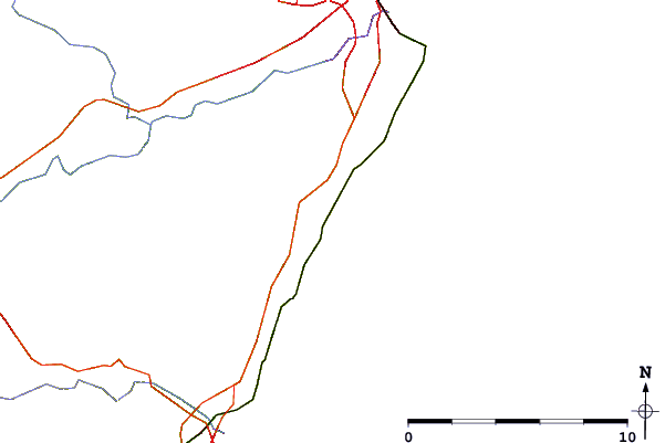
| Contours: | Roads & Rivers: | Select a
tide station / surf break / city |
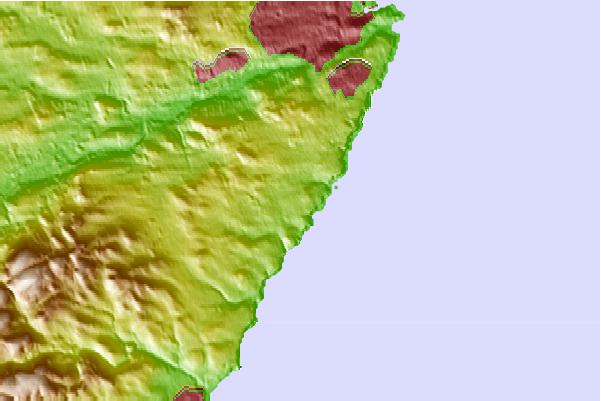
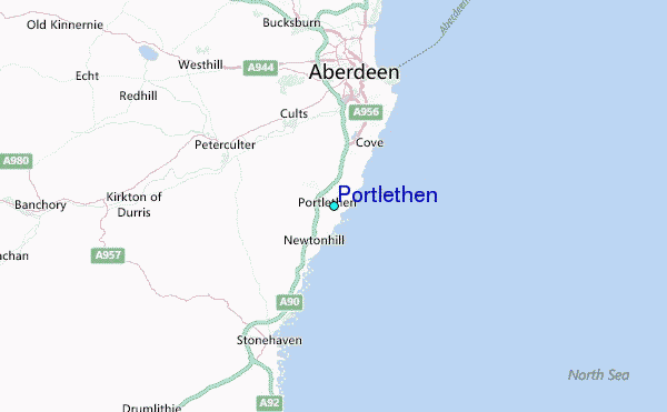
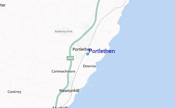
Use this relief map to navigate to tide stations, surf breaks and cities that are in the area of Portlethen.
Other Nearby Locations' tide tables and tide charts to Portlethen:
click location name for more details
 Surf breaks close to Portlethen:
|
||
|---|---|---|
| Closest surf break | Nigg Bay | 6 mi |
| Second closest surf break | Stonehaven | 7 mi |
| Third closest surf break | The Harbour | 7 mi |
| Fourth closest surf break | Aberdeen | 8 mi |
| Fifth closest surf break | Inverbervie | 16 mi |

 Nearest
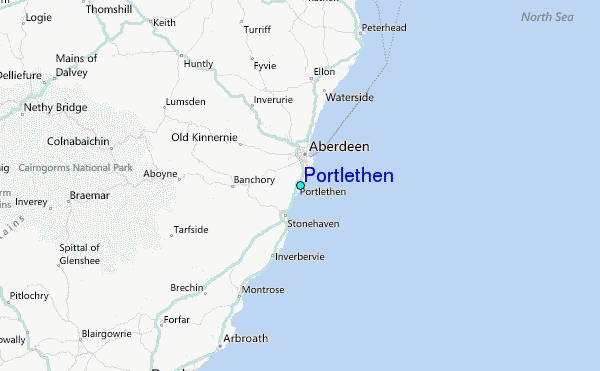