
| Distance / Altitude | Location | Report Date / Time | Live Weather | Wind | Gusts | Temp. | Visibility | Cloud |
|---|---|---|---|---|---|---|---|---|
| 70 km SSE / 12 m | Puerto Pito wx (Ecuador) | 2024-04-28 19:23 local (2024/04/29 00:23 GMT) | dry | light winds from the WNW (13 km/h at 300) | 27°C | - | - - 0 | |
| 76 km NE / 211 m | Guayaquil/José Joaquín de Olmedo International Airport (Ecuador) | 2024-04-28 19:00 local (2024/04/29 00:00 GMT) | Dry and partly cloudy | light winds from the SSW (19 km/h at 210) | 30°C | 10.0 | broken scattered | |
| 86 km SSE / 52 m | Machala Larrea Airport (Ecuador) | 2024-04-28 19:00 local (2024/04/29 00:00 GMT) | Dry and partly cloudy | light winds from the W (6 km/h at 270) | 30°C | 10.0 | few broken - | |
| 94 km S / 158 m | Tumbes Pedro Canga Rodríguez Airport (Peru) | 2024-04-28 19:00 local (2024/04/29 00:00 GMT) | Dry and partly cloudy | light winds from the WSW (9 km/h at 250) | 27°C | 10.0 | broken | |
| 97 km WNW / 8 m | Salinas/Gen Ulpi Airport (Ecuador) | 2024-04-28 18:00 local (2024/04/28 23:00 GMT) | Dry and partly cloudy | light winds from the WSW (11 km/h at 240) | — | 0.0 | few scattered - |
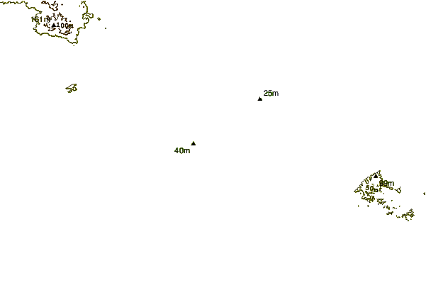
| Contours: | Roads & Rivers: | Select a
tide station / surf break / city |
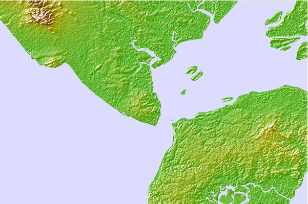
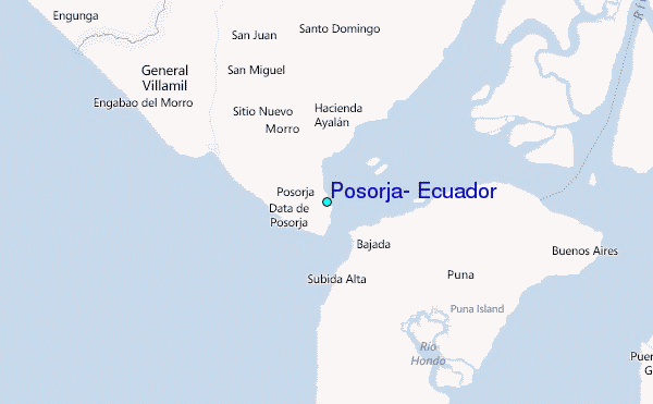
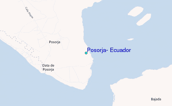
Use this relief map to navigate to tide stations, surf breaks and cities that are in the area of Posorja, Ecuador.
Other Nearby Locations' tide tables and tide charts to Posorja, Ecuador:
click location name for more details
 Surf breaks close to Posorja, Ecuador:
|
||
|---|---|---|
| Closest surf break | La Puntilla | 8 mi |
| Second closest surf break | Chabela (Playas de villamil) | 11 mi |
| Third closest surf break | Sharkbay | 11 mi |
| Fourth closest surf break | Olas Verdes | 12 mi |
| Fifth closest surf break | El Pelado | 16 mi |

 Nearest
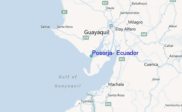