
| Distance / Altitude | Location | Report Date / Time | Live Weather | Wind | Gusts | Temp. | Visibility | Cloud |
|---|---|---|---|---|---|---|---|---|
| 20 km NW / 13 m | Horn Island Airport (Australia) | 2024-05-04 06:30 local (2024/05/03 20:30 GMT) | Dry and cloudy | moderate winds from the SE (22 km/h at 140) | 26°C | 10.0 | broken broken overcast | |
| 20 km WNW / 5 m | Horn Island Automatic Weather Station (Australia) | 2024-05-04 07:00 local (2024/05/03 21:00 GMT) | no report | moderate winds from the SE (20 km/h at 140) | 26°C | 4000 | - no observation - | |
| 105 km NE / 4 m | Coconut Island (Australia) | 2024-05-04 06:00 local (2024/05/03 20:00 GMT) | no report | - (- km/h at -) | 27°C | - | - | |
| 211 km S / 40 m | SchergerRaaf (Australia) | 2024-05-04 07:00 local (2024/05/03 21:00 GMT) | - | light winds from the SE (6 km/h at 140) | 22°C | - | no observation | |
| 222 km S / 471 m | Weipa Aerodrome (Australia) | 2024-05-04 07:00 local (2024/05/03 21:00 GMT) | Clear skies | light winds from the SE (9 km/h at 140) | 23°C | - | - no observation - |
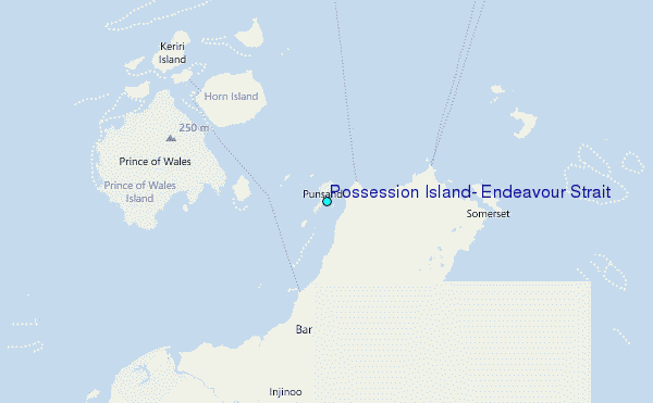
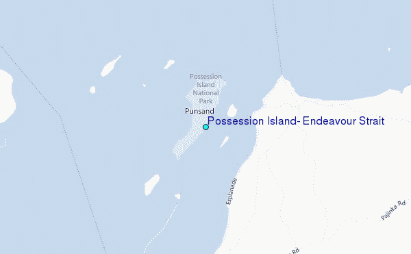
Choose Possession Island, Endeavour Strait Location Map Zoom:
| Contours: | Roads & Rivers: | Select a
tide station / surf break / city |
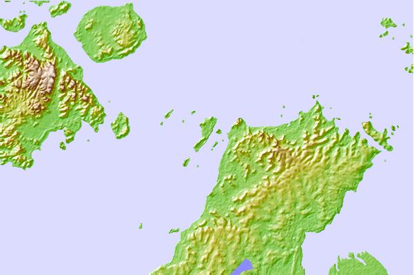
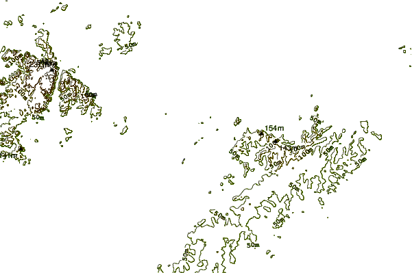
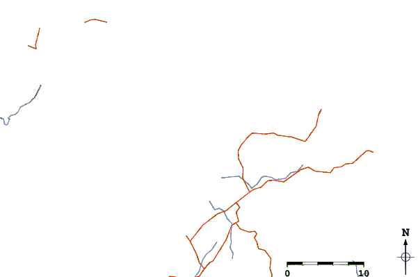
Use this relief map to navigate to tide stations, surf breaks and cities that are in the area of Possession Island, Endeavour Strait.
Other Nearby Locations' tide tables and tide charts to Possession Island, Endeavour Strait:
click location name for more details
 Surf breaks close to Possession Island, Endeavour Strait:
|
||
|---|---|---|
| Closest surf break | Tupira Right | 482 mi |
| Second closest surf break | Forok Point | 500 mi |
| Third closest surf break | The Wharf (Mission Point) | 503 mi |
| Fourth closest surf break | Moem Point | 504 mi |
| Fifth closest surf break | Wewak Point | 504 mi |

 Nearest
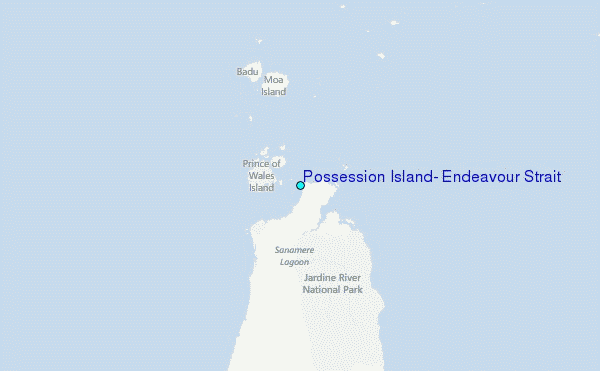