
| Distance / Altitude | Location | Report Date / Time | Live Weather | Wind | Gusts | Temp. | Visibility | Cloud |
|---|---|---|---|---|---|---|---|---|
| 14 km WNW / 208 m | Georgetown Airport (Delaware) | 2024-04-27 01:54 local (2024/04/27 05:54 GMT) | Dry and cloudy | light winds from the E (6 km/h at 100) | 8°C | 16 | broken overcast | |
| 20 km ESE / 3 m | BUOY-44084 (Marine) | 2024-04-27 03:00 local (2024/04/27 07:00 GMT) | - (- km/h at -) | 10°C | - | |||
| 25 km NNE / 3 m | BUOY-LWSD1 (Marine) | 2024-04-27 03:00 local (2024/04/27 07:00 GMT) | calm (5 km/h at 160) | 10°C | - | |||
| 32 km SSE / 3 m | BUOY-OCIM2 (Marine) | 2024-04-27 03:00 local (2024/04/27 07:00 GMT) | light winds from the ESE (17 km/h at 120) | 11°C | - | |||
| 32 km SSE / 217 m | Ocean City Airport (Maryland) | 2024-04-27 01:53 local (2024/04/27 05:53 GMT) | Dry and cloudy | light winds from the ESE (19 km/h at 120) | 12°C | 16 | overcast |
| Contours: | Roads & Rivers: | Select a
tide station / surf break / city |
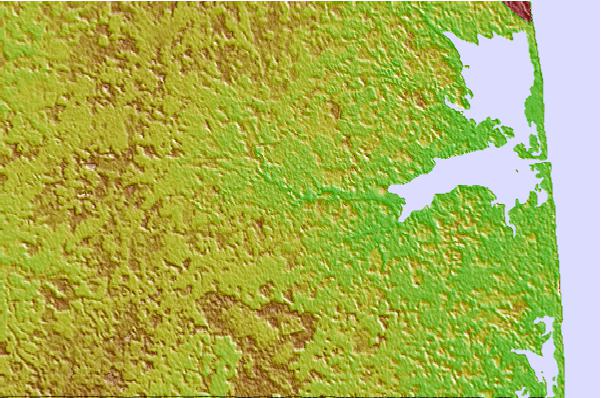

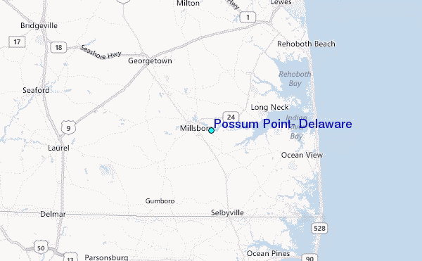
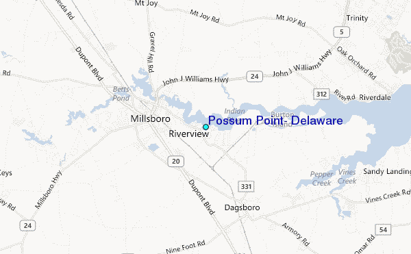
Use this relief map to navigate to tide stations, surf breaks and cities that are in the area of Possum Point, Delaware.
Other Nearby Locations' tide tables and tide charts to Possum Point, Delaware:
click location name for more details
 Surf breaks close to Possum Point, Delaware:
|
||
|---|---|---|
| Closest surf break | Indian River (Northside) | 11 mi |
| Second closest surf break | Indian River (Southside) | 11 mi |
| Third closest surf break | Bethany | 12 mi |
| Fourth closest surf break | Tower Road | 12 mi |
| Fifth closest surf break | Dewey Beach | 13 mi |

 Nearest
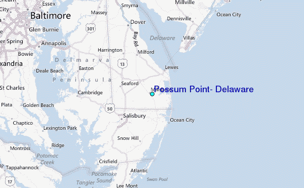