
| Distance / Altitude | Location | Report Date / Time | Live Weather | Wind | Gusts | Temp. | Visibility | Cloud |
|---|---|---|---|---|---|---|---|---|
| 44 km ENE / 345 m | Makkovik Airport (Newfoundland) | 2024-04-29 12:12 local (2024/04/29 14:42 GMT) | Freezing light rain freezing | moderate winds from the NNW (22 km/h at 340) | -2°C | 3 | overcast | |
| 67 km NW / 10 m | Hopedale (Aut)- Nfld (Canada) | 2024-04-29 11:30 local (2024/04/29 14:00 GMT) | no report | - (- km/h at -) | -2°C | - | - | |
| 131 km NNE / 15 m | ASCATB301E56N (Marine) | 2024-04-29 10:57 local (2024/04/29 13:27 GMT) | strong winds from the N (49 km/h at 352) | — | - km | |||
| 140 km NE / 15 m | ASCATB302E56N (Marine) | 2024-04-29 10:57 local (2024/04/29 13:27 GMT) | fresh winds from the N (36 km/h at 355) | — | - km | |||
| 146 km ENE / 15 m | ASCATB302E55N (Marine) | 2024-04-29 10:57 local (2024/04/29 13:27 GMT) | fresh winds from the N (33 km/h at 358) | — | - km |
| Contours: | Roads & Rivers: | Select a
tide station / surf break / city |
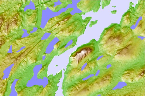
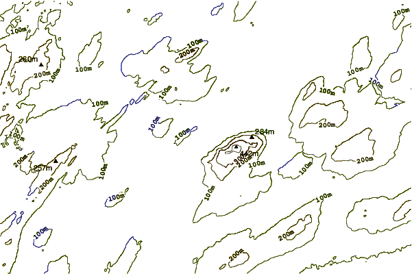
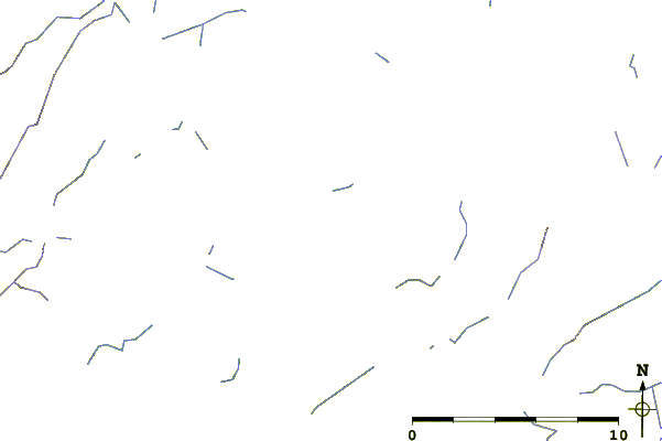
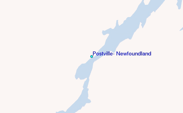
Use this relief map to navigate to tide stations, surf breaks and cities that are in the area of Postville, Newfoundland.
Other Nearby Locations' tide tables and tide charts to Postville, Newfoundland:
click location name for more details
 Surf breaks close to Postville, Newfoundland:
|
||
|---|---|---|
| Closest surf break | Ingonish Beach | 572 mi |
| Second closest surf break | Kennington Cove | 624 mi |
| Third closest surf break | Michaud Point | 646 mi |
| Fourth closest surf break | Martinique | 722 mi |
| Fifth closest surf break | Lawrencetown Left Point | 727 mi |

 Nearest
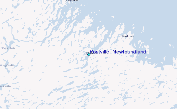