
| Distance / Altitude | Location | Report Date / Time | Live Weather | Wind | Gusts | Temp. | Visibility | Cloud |
|---|---|---|---|---|---|---|---|---|
| 171 km NW / 32 m | Aulavik National Park- Nwt (Canada) | 2024-04-27 22:00 local (2024/04/28 05:00 GMT) | no report | moderate winds from the NNW (22 km/h at 340) | -16°C | - | - | |
| 416 km ENE / 11 m | Stefansson Island Airport (Nunavut) | 2024-04-27 23:00 local (2024/04/28 06:00 GMT) | - | light winds from the WNW (17 km/h at 300) | — | 0.0 | ||
| 430 km S / 616 m | Tuktut Nogait Airport (N.w. Territories) | 2024-04-27 23:00 local (2024/04/28 06:00 GMT) | - | calm (2 km/h at 160) | -22°C | 0.0 | ||
| 430 km S / 552 m | Tuktut Nogait- Nwt (Canada) | 2024-04-27 23:00 local (2024/04/28 06:00 GMT) | no report | calm (4 km/h at 240) | -21°C | - | - | |
| 442 km SSW / 6 m | Paulatuk- Nwt (Canada) | 2024-04-27 22:00 local (2024/04/28 05:00 GMT) | no report | calm (4 km/h at 330) | -15°C | - | - |
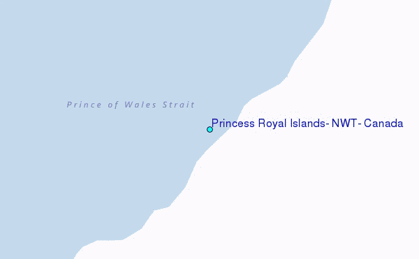
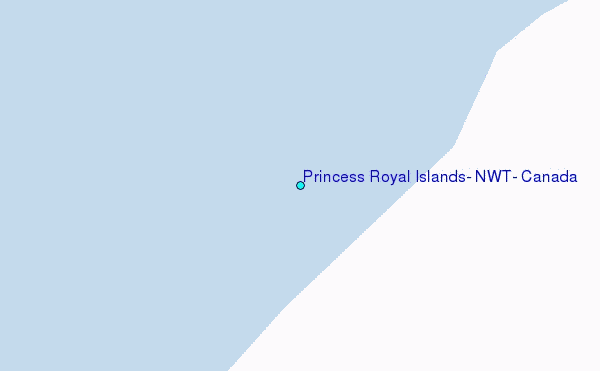
Choose Princess Royal Islands, NWT, Canada Location Map Zoom:
| Contours: | Roads & Rivers: | Select a
tide station / surf break / city |
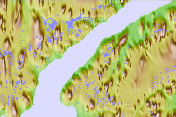
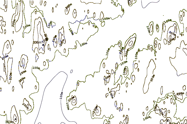
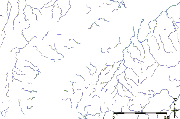
Use this relief map to navigate to tide stations, surf breaks and cities that are in the area of Princess Royal Islands, NWT, Canada.
Other Nearby Locations' tide tables and tide charts to Princess Royal Islands, NWT, Canada:
click location name for more details
 Surf breaks close to Princess Royal Islands, NWT, Canada:
|
||
|---|---|---|
| Closest surf break | Graveyards | 1087 mi |
| Second closest surf break | Ocean Cape | 1089 mi |
| Third closest surf break | Cannon Beach | 1089 mi |
| Fourth closest surf break | Bird Point (Tidal Bore) | 1211 mi |
| Fifth closest surf break | Tow Hill Beach | 1354 mi |

 Nearest
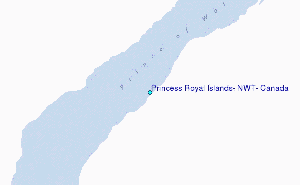