
| Distance / Altitude | Location | Report Date / Time | Live Weather | Wind | Gusts | Temp. | Visibility | Cloud |
|---|---|---|---|---|---|---|---|---|
| 188 km SE / 2400 m | Quito New International Airport (Ecuador) | 2024-04-27 08:00 local (2024/04/27 13:00 GMT) | Dry and partly cloudy | calm (4 km/h at 260) | 15°C | 10.0 | few broken | |
| 212 km S / 10 m | Gen Rivadeneira Airport (Ecuador) | 2024-04-27 08:00 local (2024/04/27 13:00 GMT) | Dry and partly cloudy | light winds from the S (19 km/h at 180) | 25°C | 10.0 | scattered broken | |
| 218 km SSE / 3200 m | Latacunga (Ecuador) | 2024-04-27 08:36 local (2024/04/27 13:36 GMT) | dry | calm (0 km/h at 255) | 13°C | - | - - 0 | |
| 230 km E / 2905 m | Ipiales/San Luis Airport (Columbia) | 2024-04-27 08:00 local (2024/04/27 13:00 GMT) | Dry and partly cloudy | calm (0 km/h at 0) | 13°C | 10.0 | few broken | |
| 235 km S / 190 m | Manta/Eloy Alfaro International Airport (Ecuador) | 2024-04-27 08:00 local (2024/04/27 13:00 GMT) | Dry and partly cloudy | light winds from the ENE (6 km/h at 60) | 26°C | 10.0 | broken - - |
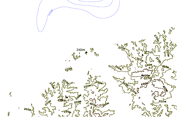
| Contours: | Roads & Rivers: | Select a
tide station / surf break / city |
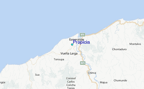
Use this relief map to navigate to tide stations, surf breaks and cities that are in the area of Propicia.
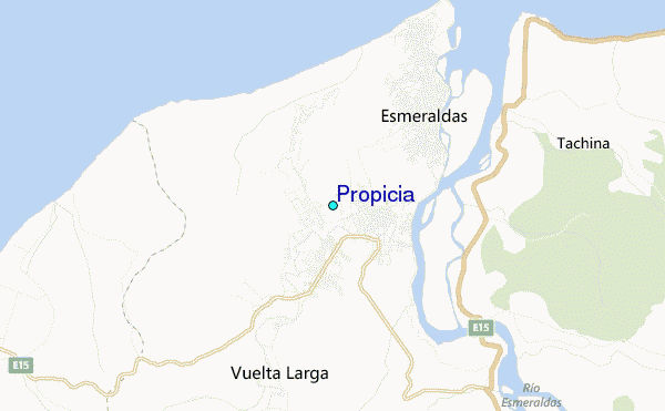
Other Nearby Locations' tide tables and tide charts to Propicia:
click location name for more details
 Surf breaks close to Propicia:
|
||
|---|---|---|
| Closest surf break | Atacames | 12 mi |
| Second closest surf break | Casablanca | 18 mi |
| Third closest surf break | Tonchigue | 20 mi |
| Fourth closest surf break | Punta Galera | 28 mi |
| Fifth closest surf break | Estero del Plátano | 31 mi |

 Nearest
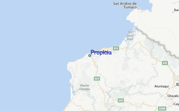