
| Distance / Altitude | Location | Report Date / Time | Live Weather | Wind | Gusts | Temp. | Visibility | Cloud |
|---|---|---|---|---|---|---|---|---|
| 3 km W / 210 m | Provincetown Airport (Massachusetts) | 2024-04-28 18:56 local (2024/04/28 22:56 GMT) | - | moderate winds from the SSW (20 km/h at 210) | 11°C | 16 | few | |
| 17 km N / 3 m | SE Cape Cod Buoy (Marine) | 2024-04-28 19:40 local (2024/04/28 23:40 GMT) | - (- km/h at -) | — | - | |||
| 26 km S / 3 m | Cape Cod Bay- MA (Marine) | 2024-04-28 20:00 local (2024/04/29 00:00 GMT) | - (- km/h at -) | 9°C | - | |||
| 40 km WSW / 4 m | Marshfield Airport (Massachusetts) | 2024-04-28 19:35 local (2024/04/28 23:35 GMT) | - | light winds from the SW.(Wind varies from 180 to 250 degs) (13 km/h at 220) | 16°C | 16 | few few scattered | |
| 43 km S / 217 m | Hyannis Airport (Massachusetts) | 2024-04-28 18:56 local (2024/04/28 22:56 GMT) | Dry and cloudy | moderate winds from the SW (20 km/h at 230) | 11°C | 16 | overcast |
| Contours: | Roads & Rivers: | Select a
tide station / surf break / city |
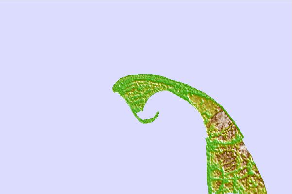
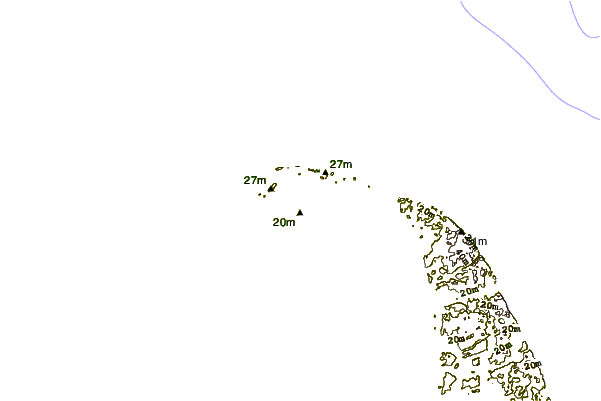
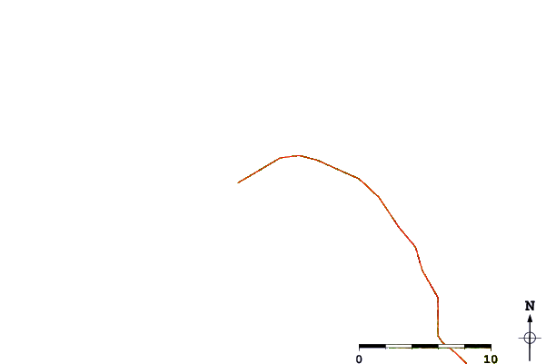
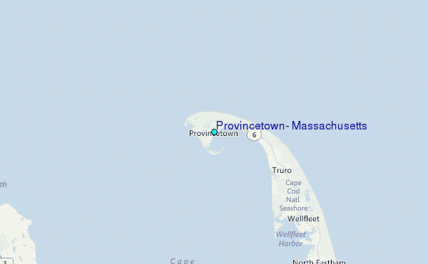
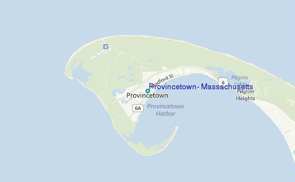
Use this relief map to navigate to tide stations, surf breaks and cities that are in the area of Provincetown, Massachusetts.
Other Nearby Locations' tide tables and tide charts to Provincetown, Massachusetts:
click location name for more details
 Surf breaks close to Provincetown, Massachusetts:
|
||
|---|---|---|
| Closest surf break | Longnook Beach | 9 mi |
| Second closest surf break | Ballston Beach | 11 mi |
| Third closest surf break | Newcombs Hollow | 12 mi |
| Fourth closest surf break | White Crest Beach (Wellfleet) | 14 mi |
| Fifth closest surf break | Lecount Hollow | 14 mi |

 Nearest
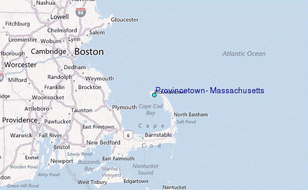