
| Distance / Altitude | Location | Report Date / Time | Live Weather | Wind | Gusts | Temp. | Visibility | Cloud |
|---|---|---|---|---|---|---|---|---|
| 0 km WSW / 3 m | BUOY-PRDA2 (Marine) | 2024-04-28 10:48 local (2024/04/28 18:48 GMT) | strong winds from the ENE (41 km/h at 60) | -16°C | - | |||
| 20 km SSE / 3 m | BUOY-DHXA2 (Marine) | 2024-04-28 11:03 local (2024/04/28 19:03 GMT) | moderate winds from the ENE (28 km/h at 60) | -14°C | - | |||
| 22 km S / 215 m | Deadhorse Airport (Alaska) | 2024-04-28 09:53 local (2024/04/28 17:53 GMT) | Mist - | fresh winds from the ENE (31 km/h at 60) | -15°C | 6 | overcast | |
| 41 km SW / 459 m | Kuparuk Airport (Alaska) | 2024-04-28 09:45 local (2024/04/28 17:45 GMT) | Dry and partly cloudy | moderate winds from the ENE (24 km/h at 70) | -17°C | 16 | scattered | |
| 90 km ESE / 8 m | Point Thompson Airstrip-Deadhorse (Alaska) (Alaska) | 2024-04-28 10:35 local (2024/04/28 18:35 GMT) | Dry and cloudy | fresh winds from the ENE (33 km/h at 70) | -13°C | 0.0 | overcast |
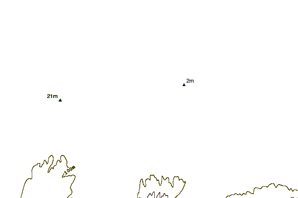
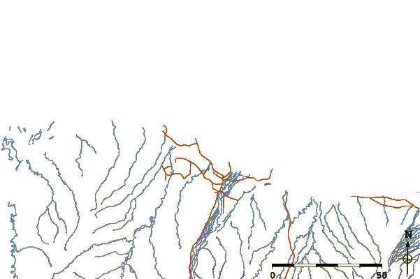
| Contours: | Roads & Rivers: | Select a
tide station / surf break / city |
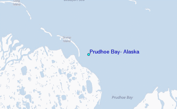
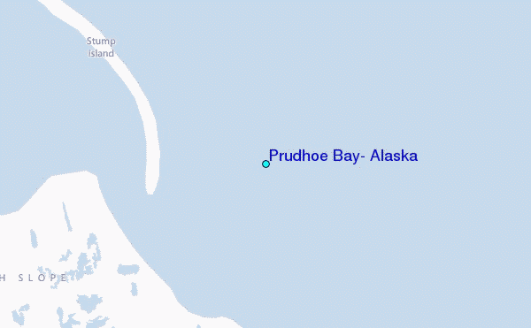
Use this relief map to navigate to tide stations, surf breaks and cities that are in the area of Prudhoe Bay, Alaska.
Other Nearby Locations' tide tables and tide charts to Prudhoe Bay, Alaska:
click location name for more details
 Surf breaks close to Prudhoe Bay, Alaska:
|
||
|---|---|---|
| Closest surf break | Bird Point (Tidal Bore) | 674 mi |
| Second closest surf break | Graveyards | 790 mi |
| Third closest surf break | Ocean Cape | 791 mi |
| Fourth closest surf break | Cannon Beach | 794 mi |
| Fifth closest surf break | Termination Point | 874 mi |

 Nearest
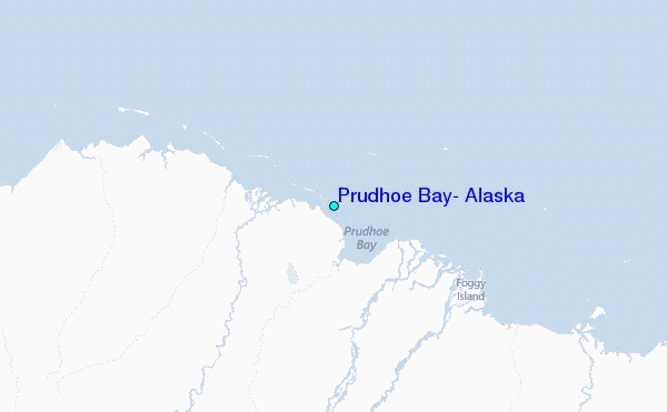