
| Distance / Altitude | Location | Report Date / Time | Live Weather | Wind | Gusts | Temp. | Visibility | Cloud |
|---|---|---|---|---|---|---|---|---|
| 3 km NE / 6 m | Puerto Vallarta (Mexico) | 2024-04-28 22:02 local (2024/04/29 03:02 GMT) | dry | calm (5 km/h at 205) | 24°C | - | - - 0 | |
| 6 km N / 169 m | Puerto Vallarta Airport (Mexico) | 2024-04-28 21:40 local (2024/04/29 02:40 GMT) | Dry and partly cloudy | light winds from the S (9 km/h at 190) | 24°C | 19 | scattered | |
| 107 km NNE / 915 m | Tepic-Nay. (Mexico) | 2024-04-28 22:00 local (2024/04/29 03:00 GMT) | Visibility reduced by smoke | calm (0 km/h at 0) | 22°C | 28 km | clear | |
| 107 km NNE / 936 m | Tepic Airport (Mexico) | 2024-04-28 20:45 local (2024/04/29 01:45 GMT) | - | light winds from the N (19 km/h at 360) | 22°C | 16 | few | |
| 179 km SSE / 334 m | Manzanillo International Airport (Mexico) | 2024-04-28 20:40 local (2024/04/29 01:40 GMT) | Dry and partly cloudy | calm (0 km/h at 0) | 24°C | 16 | scattered |
| Contours: | Roads & Rivers: | Select a
tide station / surf break / city |
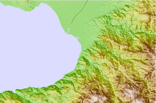
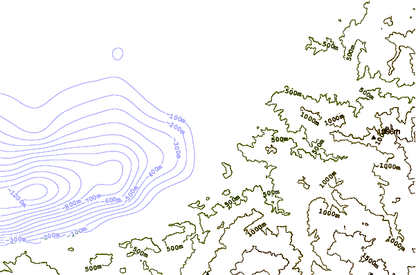
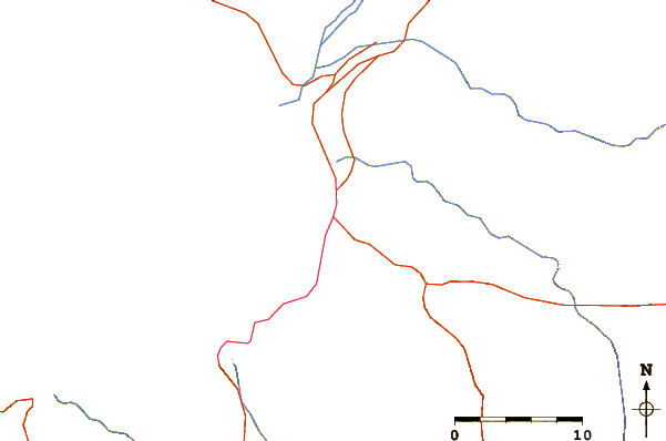
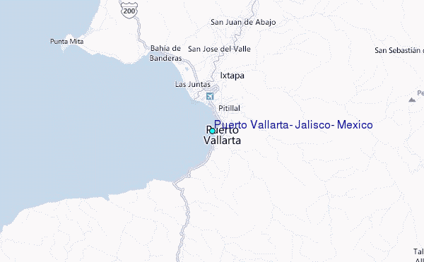
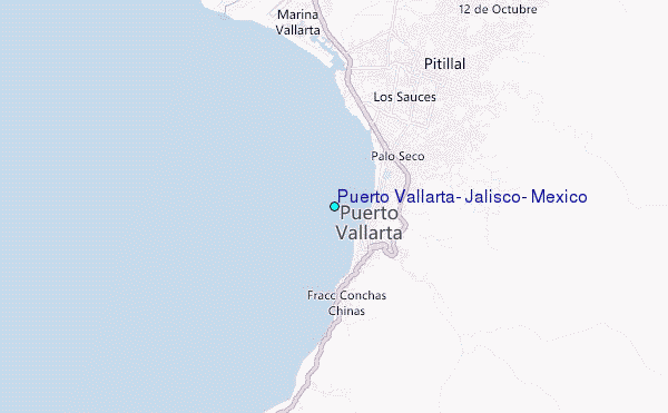
Use this relief map to navigate to tide stations, surf breaks and cities that are in the area of Puerto Vallarta, Jalisco, Mexico.
Other Nearby Locations' tide tables and tide charts to Puerto Vallarta, Jalisco, Mexico:
click location name for more details
 Surf breaks close to Puerto Vallarta, Jalisco, Mexico:
|
||
|---|---|---|
| Closest surf break | El Tizate | 1 mi |
| Second closest surf break | Puerto Vallarta Rivermouth | 2 mi |
| Third closest surf break | Quimixto | 12 mi |
| Fourth closest surf break | Swimming Pools | 16 mi |
| Fifth closest surf break | Los Veneros | 16 mi |

 Nearest
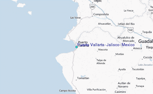