
| Distance / Altitude | Location | Report Date / Time | Live Weather | Wind | Gusts | Temp. | Visibility | Cloud |
|---|---|---|---|---|---|---|---|---|
| 15 km WNW / 2 m | Marco Island Airport (Florida) (Florida) | 2024-04-28 10:56 local (2024/04/28 14:56 GMT) | - | moderate winds from the ESE (24 km/h at 110) | 27°C | 16 | few | |
| 18 km ESE / 1 m | Everglades City wx (United States) | 2024-04-28 12:13 local (2024/04/28 16:13 GMT) | dry | wind obs. (13 kph from 67 degs) was rejected (- km/h at -) | 28°C | - | - - 0 | |
| 19 km WNW / 1 m | Marco Shores Estates Mobile Home Park wx (United States) | 2024-04-28 11:46 local (2024/04/28 15:46 GMT) | dry | wind obs. (6 kph from 56 degs) was rejected (- km/h at -) | 27°C | - | - - 0 | |
| 21 km WNW / 3 m | BUOY-RKXF1 (Marine) | 2024-04-28 10:45 local (2024/04/28 14:45 GMT) | light winds from the SE (18 km/h at 130) | 27°C | - | |||
| 32 km WNW / 217 m | Naples Municipal Airport (Florida) | 2024-04-28 10:53 local (2024/04/28 14:53 GMT) | Clear | moderate winds from the E (28 km/h at 100) | 27°C | 16 |
| Contours: | Roads & Rivers: | Select a
tide station / surf break / city |
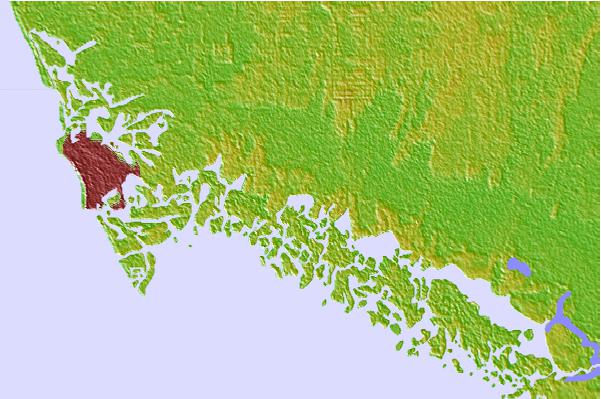

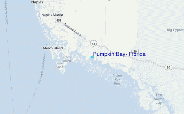
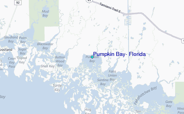
Use this relief map to navigate to tide stations, surf breaks and cities that are in the area of Pumpkin Bay, Florida.
Other Nearby Locations' tide tables and tide charts to Pumpkin Bay, Florida:
click location name for more details
 Surf breaks close to Pumpkin Bay, Florida:
|
||
|---|---|---|
| Closest surf break | Naples Pier | 19 mi |
| Second closest surf break | Wiggins Pass | 31 mi |
| Third closest surf break | Dunes Hotel (Miami) | 89 mi |
| Fourth closest surf break | Dunes Motel | 89 mi |
| Fifth closest surf break | Fifth Street (Miami) | 89 mi |

 Nearest
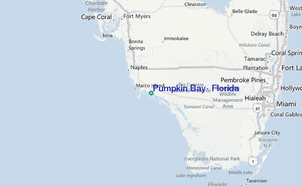