
| Distance / Altitude | Location | Report Date / Time | Live Weather | Wind | Gusts | Temp. | Visibility | Cloud |
|---|---|---|---|---|---|---|---|---|
| 9 km NE / 337 m | Cienfuegos Airport (Cuba) | 2024-04-27 09:50 local (2024/04/27 13:50 GMT) | - | light winds from the E.(Wind varies from 060 to 140 degs) (17 km/h at 100) | 29°C | 10.0 | few | |
| 70 km NE / 103 m | Santa Clara Airport (Cuba) | 2024-04-27 09:50 local (2024/04/27 13:50 GMT) | Dry and partly cloudy | moderate winds from the E (26 km/h at 100) | 28°C | 9.0 | broken | |
| 123 km SW / 378 m | Cayo Largo D Sur Airport (Cuba) | 2024-04-27 09:50 local (2024/04/27 13:50 GMT) | Dry and partly cloudy | moderate winds from the E.(Wind varies from 060 to 130 degs) (24 km/h at 100) | 28°C | 9.0 | broken | |
| 147 km WNW / 213 m | Varadero Airport (Cuba) | 2024-04-27 09:50 local (2024/04/27 13:50 GMT) | Dry and partly cloudy | moderate winds from the E.(Wind varies from 060 to 120 degs) (22 km/h at 90) | 26°C | 9.0 | broken | |
| 222 km ENE / 4 m | Canagua Airport (Cuba) | 2024-04-27 09:50 local (2024/04/27 13:50 GMT) | Dry and partly cloudy | moderate winds from the E (28 km/h at 100) | 26°C | 9.0 | scattered |
| Contours: | Roads & Rivers: | Select a
tide station / surf break / city |
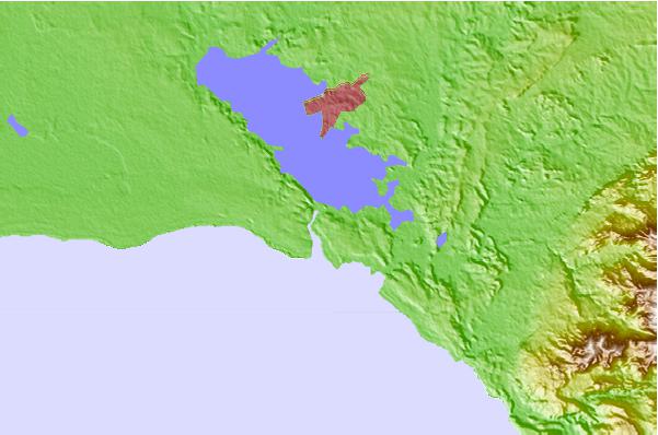
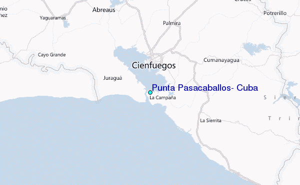
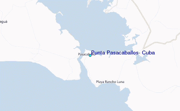
Use this relief map to navigate to tide stations, surf breaks and cities that are in the area of Punta Pasacaballos, Cuba.
Other Nearby Locations' tide tables and tide charts to Punta Pasacaballos, Cuba:
click location name for more details
 Surf breaks close to Punta Pasacaballos, Cuba:
|
||
|---|---|---|
| Closest surf break | East End | 196 mi |
| Second closest surf break | 7 Mile Beach | 198 mi |
| Third closest surf break | South Sound | 203 mi |
| Fourth closest surf break | South Beach (Miami) | 257 mi |
| Fifth closest surf break | Fifth Street (Miami) | 257 mi |

 Nearest
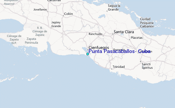