
| Distance / Altitude | Location | Report Date / Time | Live Weather | Wind | Gusts | Temp. | Visibility | Cloud |
|---|---|---|---|---|---|---|---|---|
| 197 km S / 12 m | Cam Ranh Bay Airport (Viet nam) | 2024-04-29 00:30 local (2024/04/28 17:30 GMT) | - | light winds from the SSW (13 km/h at 200) | — | 0.0 | ||
| 241 km WSW / 330 m | Rattanakiri (Cambodia) | 2024-04-29 00:00 local (2024/04/28 17:00 GMT) | - | light winds from the SW (7 km/h at 230) | 30°C | - | no observation | |
| 274 km NW / 676 m | Da Nang International Airport (Viet Nam) | 2024-04-29 00:30 local (2024/04/28 17:30 GMT) | - | calm (2 km/h at 1) | 28°C | 10.0 | few | |
| 327 km SSW / 205 m | Ấp Phước Quả B wx (Vietnam) | 2024-04-29 00:43 local (2024/04/28 17:43 GMT) | dry | calm (0 km/h at 121) | 28°C | - | - - 0 | |
| 335 km NW / 17 m | Hue Phubai Airport (Viet nam) | 2024-04-29 00:30 local (2024/04/28 17:30 GMT) | - | light winds from the SSE (6 km/h at 150) | 32°C | 10.0 | few |
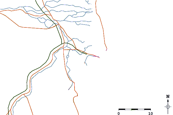
| Contours: | Roads & Rivers: | Select a
tide station / surf break / city |
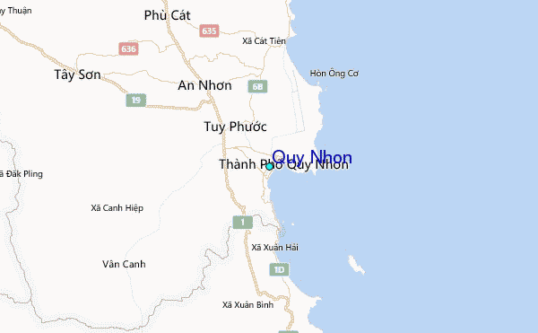
Use this relief map to navigate to tide stations, surf breaks and cities that are in the area of Quy Nhon.
Other Nearby Locations' tide tables and tide charts to Quy Nhon:
click location name for more details
 Surf breaks close to Quy Nhon:
|
||
|---|---|---|
| Closest surf break | Dark Reef | 111 mi |
| Second closest surf break | Bai Dai Nha Trang | 114 mi |
| Third closest surf break | Cue Dai Beach | 157 mi |
| Fourth closest surf break | China Beach | 165 mi |
| Fifth closest surf break | Non Nuoc | 169 mi |

 Nearest
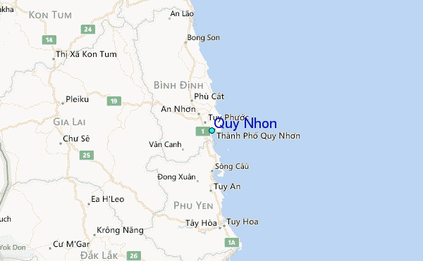