
| Distance / Altitude | Location | Report Date / Time | Live Weather | Wind | Gusts | Temp. | Visibility | Cloud |
|---|---|---|---|---|---|---|---|---|
| 541 km ESE / 39 m | Taro Island (Solomon Islands) | 2024-04-29 16:00 local (2024/04/29 06:00 GMT) | Distant precipitation but not falling at station | calm (0 km/h at 0) | 29°C | 10 km | - mostly cloudy - | |
| 627 km S / 15 m | SHIP3318 (Marine) | 2024-04-29 16:00 local (2024/04/29 06:00 GMT) | - (- km/h at -) | — | - km | |||
| 631 km SW / 69 m | Mount Hagen Airport (Papua New Guinea) | 2024-04-29 15:00 local (2024/04/29 05:00 GMT) | Dry and partly cloudy | light winds from the NNE (15 km/h at 30) | 26°C | 10.0 | scattered | |
| 651 km NNE / 3 m | KapingamarangiAtoll-Caroline Is. (Micronesia) | 2024-04-29 16:00 local (2024/04/29 06:00 GMT) | State of sky unchanged | light winds from the E (9 km/h at 100) | 27°C | 44 km | overcast | |
| 660 km SW / 70 m | Nadzab (Papua New Guinea) | 2024-04-29 15:00 local (2024/04/29 05:00 GMT) | Dry and partly cloudy | light winds from the E (9 km/h at 80) | 29°C | 10.0 | few broken |
| Contours: | Roads & Rivers: | Select a
tide station / surf break / city |
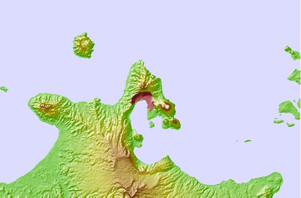
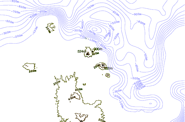
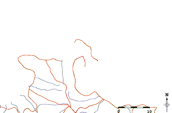
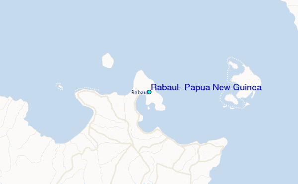
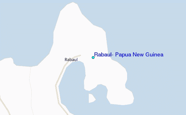
Use this relief map to navigate to tide stations, surf breaks and cities that are in the area of Rabaul, Papua New Guinea.
Other Nearby Locations' tide tables and tide charts to Rabaul, Papua New Guinea:
click location name for more details
 Surf breaks close to Rabaul, Papua New Guinea:
|
||
|---|---|---|
| Closest surf break | Duke of York | 19 mi |
| Second closest surf break | Raiven | 19 mi |
| Third closest surf break | Rubio | 52 mi |
| Fourth closest surf break | Simberi Island | 112 mi |
| Fifth closest surf break | Nago | 147 mi |

 Nearest
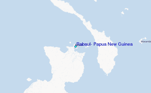