
| Distance / Altitude | Location | Report Date / Time | Live Weather | Wind | Gusts | Temp. | Visibility | Cloud |
|---|---|---|---|---|---|---|---|---|
| 2 km WSW / 8 m | Ranong Airport (Thailand) | 2024-04-29 18:00 local (2024/04/29 11:00 GMT) | - | light winds from the W.(Wind varies from 250 to 310 degs) (7 km/h at 280) | 33°C | 10.0 | few | |
| 3 km W / 1 m | Ranong (Thailand) | 2024-04-29 19:00 local (2024/04/29 12:00 GMT) | no report | calm (2 km/h at 250) | 33°C | 10 | - | |
| 6 km WSW / 47 m | Kawthaung (Myanmar) | 2024-04-29 19:00 local (2024/04/29 12:00 GMT) | no report | calm (4 km/h at 320) | 33°C | 20 | - | |
| 64 km NE / 13 m | Sawi Agromet (Thailand) | 2024-04-29 19:00 local (2024/04/29 12:00 GMT) | mist | - (- km/h at -) | 33°C | 7 | - - - | |
| 82 km NE / 5 m | Chumphon (Thailand) | 2024-04-29 20:00 local (2024/04/29 13:00 GMT) | no report | calm (2 km/h at 130) | 32°C | 10 | - |
| Contours: | Roads & Rivers: | Select a
tide station / surf break / city |
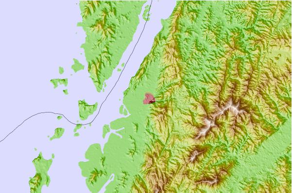
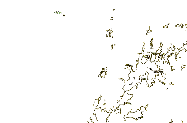
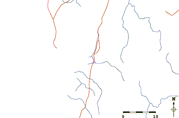
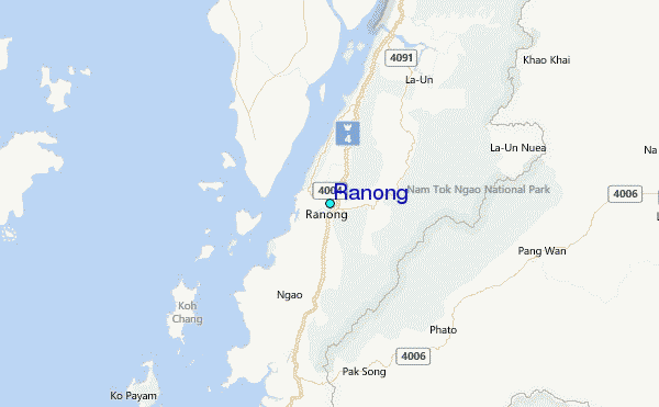
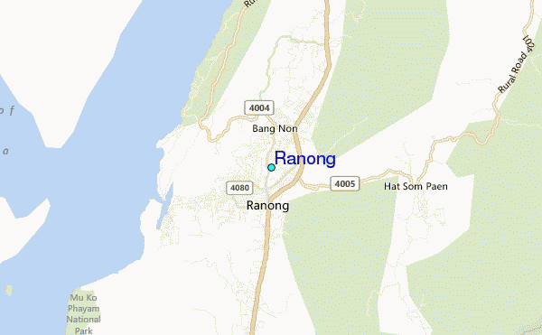
Use this relief map to navigate to tide stations, surf breaks and cities that are in the area of Ranong.
Other Nearby Locations' tide tables and tide charts to Ranong:
click location name for more details
 Surf breaks close to Ranong:
|
||
|---|---|---|
| Closest surf break | Koh Phayam | 24 mi |
| Second closest surf break | Cape Pakarang Left | 89 mi |
| Third closest surf break | Cape Pakarang Reefs | 89 mi |
| Fourth closest surf break | Cape Pakarang Right | 90 mi |
| Fifth closest surf break | Bang Niang Rivermouth | 92 mi |

 Nearest
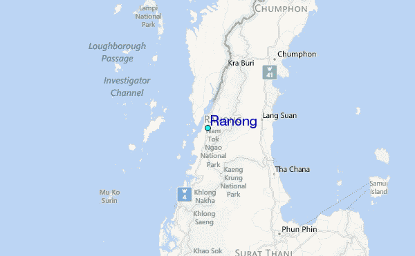