
| Distance / Altitude | Location | Report Date / Time | Live Weather | Wind | Gusts | Temp. | Visibility | Cloud |
|---|---|---|---|---|---|---|---|---|
| 110 km SW / 5 m | Ahmad Yani International Airport (Indonesia) | 2024-04-29 18:30 local (2024/04/29 11:30 GMT) | - | light winds from the NE (9 km/h at 50) | 31°C | 7.0 | few | |
| 176 km ESE / 2 m | Juanda Airport (Indonesia) | 2024-04-29 18:30 local (2024/04/29 11:30 GMT) | - | light winds from the ENE (13 km/h at 70) | 30°C | 8.0 | few | |
| 406 km WSW / 913 m | Cileuweung Dua wx (Indonesia) | 2024-04-29 17:33 local (2024/04/29 10:33 GMT) | - | wind obs. (6 kph from 334 degs) was rejected (- km/h at -) | 27°C | - | - - 0 | |
| 479 km ESE / 216 m | Bali International Airport (Indonesia) | 2024-04-29 18:30 local (2024/04/29 11:30 GMT) | - | moderate winds from the SE (22 km/h at 130) | 28°C | 10.0 | few | |
| 493 km WSW / 8 m | Bambuasri wx (Indonesia) | 2024-04-29 19:17 local (2024/04/29 12:17 GMT) | - | calm (0 km/h at 0) | 42°C | - | - - 0 |
| Contours: | Roads & Rivers: | Select a
tide station / surf break / city |
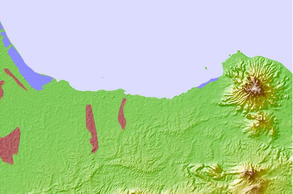
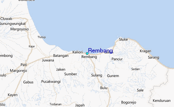
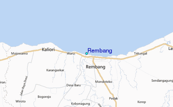
Use this relief map to navigate to tide stations, surf breaks and cities that are in the area of Rembang.
Other Nearby Locations' tide tables and tide charts to Rembang:
click location name for more details
 Surf breaks close to Rembang:
|
||
|---|---|---|
| Closest surf break | Karang Nini | 192 mi |
| Second closest surf break | Batu Mandi | 196 mi |
| Third closest surf break | Batu Hiu | 204 mi |
| Fourth closest surf break | Batu Karas | 208 mi |
| Fifth closest surf break | Keusik Luhur | 210 mi |

 Nearest
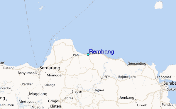