
| Distance / Altitude | Location | Report Date / Time | Live Weather | Wind | Gusts | Temp. | Visibility | Cloud |
|---|---|---|---|---|---|---|---|---|
| 64 km NW / 217 m | Frobisher/Iqaluit Airport (N.w. Territories) | 2024-05-02 20:00 local (2024/05/03 00:00 GMT) | Dry and partly cloudy | calm (4 km/h at 140) | -6°C | 48 | broken broken | |
| 345 km NNE / 23 m | Pangnirtung-NU (Canada) | 2024-05-02 19:00 local (2024/05/02 23:00 GMT) | no report | light winds from the WSW (14 km/h at 240) | -6°C | - | - no observation - | |
| 345 km NNE / 322 m | Pangnirtung Airport (N.w. Territories) | 2024-05-02 19:00 local (2024/05/02 23:00 GMT) | Dry and cloudy | light winds from the SW (19 km/h at 230) | -5°C | 24 | overcast | |
| 361 km SW / 503 m | Parc National Des Pingualuit- Que (Canada) | 2024-05-02 20:00 local (2024/05/03 00:00 GMT) | no report | fresh winds from the E (32 km/h at 100) | -4°C | - | - | |
| 427 km E / 15 m | ASCATC300E63N (Marine) | 2024-05-02 19:09 local (2024/05/02 23:09 GMT) | moderate winds from the NNE (23 km/h at 18) | — | - km |
| Contours: | Roads & Rivers: | Select a
tide station / surf break / city |
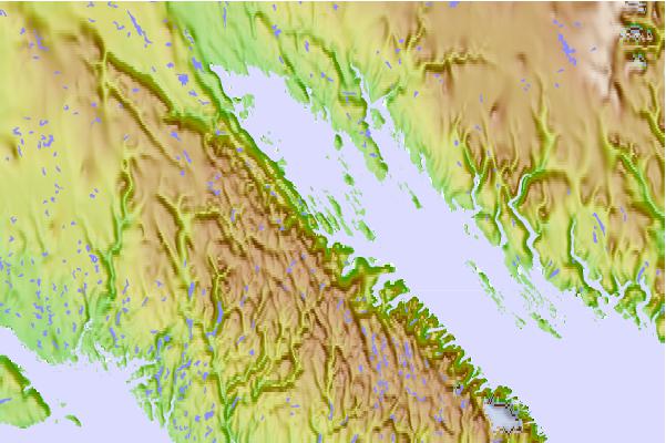
Use this relief map to navigate to tide stations, surf breaks and cities that are in the area of Resor Island, Nunavut.
Other Nearby Locations' tide tables and tide charts to Resor Island, Nunavut:
click location name for more details
 Surf breaks close to Resor Island, Nunavut:
|
||
|---|---|---|
| Closest surf break | Ingonish Beach | 1184 mi |
| Second closest surf break | Marathon | 1221 mi |
| Third closest surf break | Kennington Cove | 1239 mi |
| Fourth closest surf break | Michaud Point | 1254 mi |
| Fifth closest surf break | Alona Bay | 1281 mi |

 Nearest