
| Distance / Altitude | Location | Report Date / Time | Live Weather | Wind | Gusts | Temp. | Visibility | Cloud |
|---|---|---|---|---|---|---|---|---|
| 22 km NE / 15 m | ASCATC168E12N (Marine) | 2024-05-03 09:56 local (2024/05/02 21:56 GMT) | strong winds from the ENE (40 km/h at 70) | — | - km | |||
| 66 km W / 15 m | ASCATC167E12N (Marine) | 2024-05-03 09:56 local (2024/05/02 21:56 GMT) | strong winds from the E (39 km/h at 85) | — | - km | |||
| 95 km S / 15 m | ASCATC168E11N (Marine) | 2024-05-03 09:57 local (2024/05/02 21:57 GMT) | fresh winds from the ENE (36 km/h at 74) | — | - km | |||
| 118 km E / 15 m | ASCATC169E12N (Marine) | 2024-05-03 09:56 local (2024/05/02 21:56 GMT) | fresh winds from the ENE (33 km/h at 70) | — | - km | |||
| 123 km SSW / 15 m | ASCATC167E11N (Marine) | 2024-05-03 09:57 local (2024/05/02 21:57 GMT) | fresh winds from the ENE (33 km/h at 62) | — | - km |
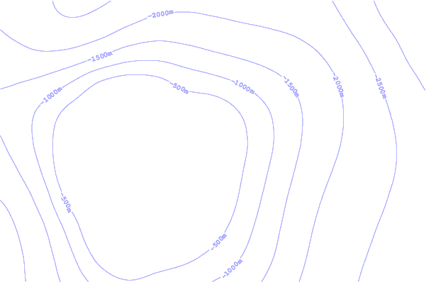
| Contours: | Roads & Rivers: | Select a
tide station / surf break / city |
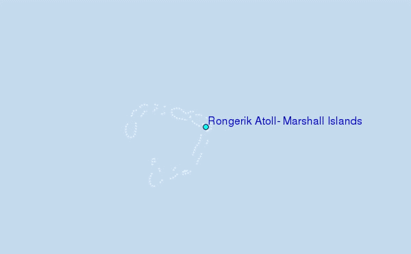
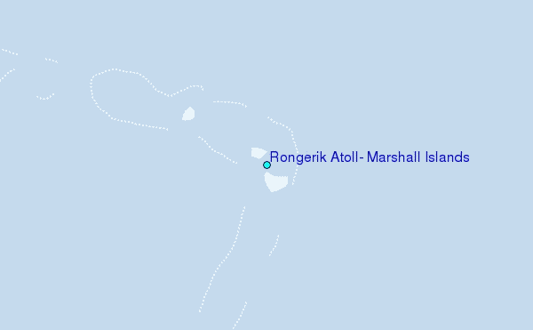
Use this relief map to navigate to tide stations, surf breaks and cities that are in the area of Rongerik Atoll, Marshall Islands.
Other Nearby Locations' tide tables and tide charts to Rongerik Atoll, Marshall Islands:
click location name for more details
 Surf breaks close to Rongerik Atoll, Marshall Islands:
|
||
|---|---|---|
| Closest surf break | Sidedish | 523 mi |
| Second closest surf break | Walung | 524 mi |
| Third closest surf break | Naa | 770 mi |
| Fourth closest surf break | Simberi Island | 1439 mi |
| Fifth closest surf break | Rubio | 1470 mi |

 Nearest
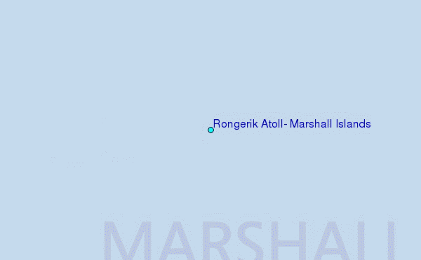