
| Distance / Altitude | Location | Report Date / Time | Live Weather | Wind | Gusts | Temp. | Visibility | Cloud |
|---|---|---|---|---|---|---|---|---|
| 14 km ENE / 472 m | Rota International Airport (Micronesia) | 2024-05-01 10:50 local (2024/05/01 00:50 GMT) | Dry and partly cloudy | light winds from the E (19 km/h at 80) | 27°C | 11 | broken broken | |
| 63 km NE / 15 m | ASCATC146E15N (Marine) | 2024-05-01 10:18 local (2024/05/01 00:18 GMT) | moderate winds from the ENE (28 km/h at 62) | — | - km | |||
| 66 km SSE / 15 m | ASCATC145E14N (Marine) | 2024-05-01 10:18 local (2024/05/01 00:18 GMT) | moderate winds from the NE (24 km/h at 49) | — | - km | |||
| 66 km W / 15 m | hy2c145E14N (Marine) | 2024-05-01 10:01 local (2024/05/01 00:01 GMT) | moderate winds from the NE (26 km/h at 55) | — | - km | |||
| 67 km S / 217 m | Mariana/Andersen Airport (Guam) | 2024-05-01 10:55 local (2024/05/01 00:55 GMT) | Dry and partly cloudy | moderate winds from the NE (26 km/h at 40) | 29°C | 16 | broken |
| Contours: | Roads & Rivers: | Select a
tide station / surf break / city |
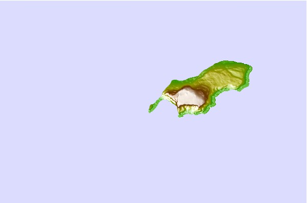
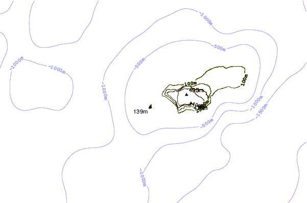
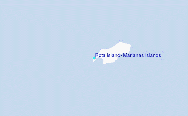
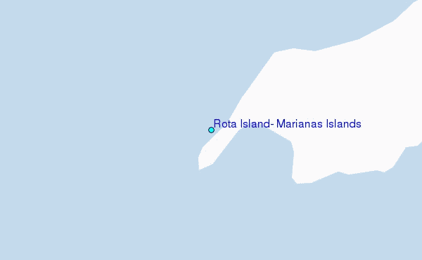
Use this relief map to navigate to tide stations, surf breaks and cities that are in the area of Rota Island, Marianas Islands.
Other Nearby Locations' tide tables and tide charts to Rota Island, Marianas Islands:
click location name for more details
 Surf breaks close to Rota Island, Marianas Islands:
|
||
|---|---|---|
| Closest surf break | Ricks Reef | 51 mi |
| Second closest surf break | Boat Basin Lefts | 52 mi |
| Third closest surf break | Boat Basin Rights | 52 mi |
| Fourth closest surf break | Right and Left Side | 52 mi |
| Fifth closest surf break | Leftovers | 53 mi |

 Nearest
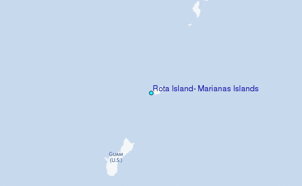