
| Distance / Altitude | Location | Report Date / Time | Live Weather | Wind | Gusts | Temp. | Visibility | Cloud |
|---|---|---|---|---|---|---|---|---|
| 3 km S / 126 m | SabangCutBau (Indonesia) | 2024-04-29 13:00 local (2024/04/29 06:00 GMT) | - | light winds from the E (9 km/h at 80) | 34°C | 28 km | mostly cloudy | |
| 43 km SSE / 21 m | BandaAcehBlangBintang (Indonesia) | 2024-04-29 13:00 local (2024/04/29 06:00 GMT) | - | light winds from the NNW (15 km/h at 340) | 34°C | 30 km | - mostly cloudy - | |
| 44 km ENE / - m | SHIP10883 (ocean) | 2024-04-29 13:00 local (2024/04/29 06:00 GMT) | State of sky unchanged | light winds from the ENE (11 km/h at 60) | 31°C | 20 km | mostly cloudy | |
| 195 km ESE / 87 m | LhokseumaweMalikussaleh (Indonesia) | 2024-04-29 13:00 local (2024/04/29 06:00 GMT) | - | light winds from the NE (19 km/h at 40) | 33°C | 27 km | mostly cloudy | |
| 229 km SSE / 1 m | MeulabohCutNyakDhien (Indonesia) | 2024-04-29 13:00 local (2024/04/29 06:00 GMT) | - | light winds from the WSW (11 km/h at 250) | 32°C | 28 km | mostly cloudy |
| Contours: | Roads & Rivers: | Select a
tide station / surf break / city |
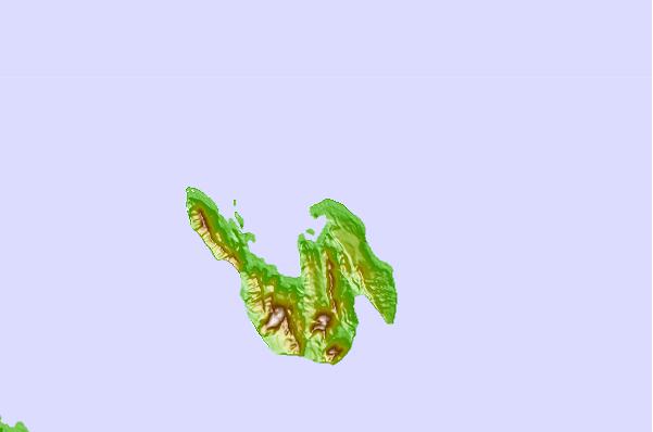
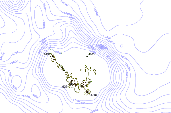
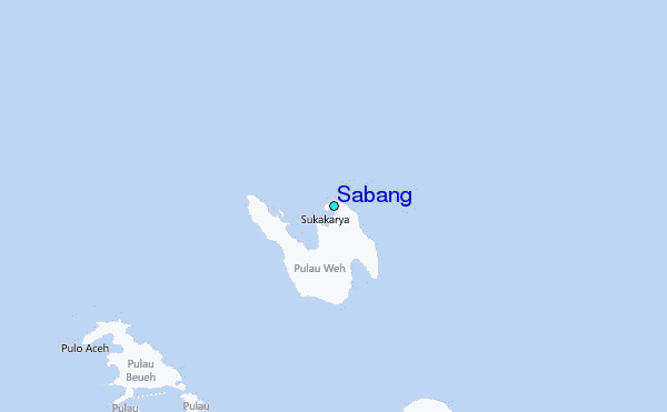
Use this relief map to navigate to tide stations, surf breaks and cities that are in the area of Sabang.
Other Nearby Locations' tide tables and tide charts to Sabang:
click location name for more details
 Surf breaks close to Sabang:
|
||
|---|---|---|
| Closest surf break | Nai Harn Beach | 242 mi |
| Second closest surf break | Kata Beach | 244 mi |
| Third closest surf break | Kata Noi | 244 mi |
| Fourth closest surf break | Similan Islands | 244 mi |
| Fifth closest surf break | Karon Beach | 245 mi |

 Nearest
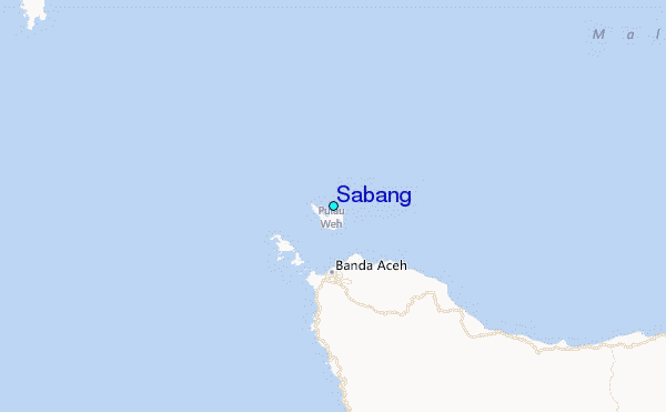