
| Distance / Altitude | Location | Report Date / Time | Live Weather | Wind | Gusts | Temp. | Visibility | Cloud |
|---|---|---|---|---|---|---|---|---|
| 179 km NW / 217 m | Hart Island Airport (Nova Scotia) | 2024-04-30 20:00 local (2024/04/30 23:00 GMT) | - | near gales from the WNW (54 km/h at 300) | 3°C | 0.0 | ||
| 179 km NW / 8 m | Hart Island Airport (Canada) | 2024-04-30 20:00 local (2024/04/30 23:00 GMT) | no report | near gales from the WNW (54 km/h at 300) | 3°C | - | - - - | |
| 183 km NW / 30 m | Upper Fox Island (Åland) | 2024-04-30 21:37 local (2024/05/01 00:37 GMT) | dry | moderate winds from the NNE (24 km/h at 14) | 3°C | - | - - 0 | |
| 185 km NW / - m | SHIP7816 (ocean) | 2024-04-30 20:00 local (2024/04/30 23:00 GMT) | - | strong winds from the NNW (40 km/h at 340) | 4°C | - | no observation | |
| 187 km NW / 3 m | BUOY-44488 (Marine) | 2024-04-30 21:00 local (2024/05/01 00:00 GMT) | strong winds from the N (40 km/h at 350) | 3°C | - |
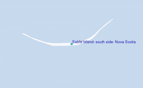
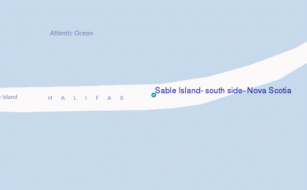
Choose Sable Island, south side, Nova Scotia Location Map Zoom:
| Contours: | Roads & Rivers: | Select a
tide station / surf break / city |

Use this relief map to navigate to tide stations, surf breaks and cities that are in the area of Sable Island, south side, Nova Scotia.
Other Nearby Locations' tide tables and tide charts to Sable Island, south side, Nova Scotia:
click location name for more details
 Surf breaks close to Sable Island, south side, Nova Scotia:
|
||
|---|---|---|
| Closest surf break | Michaud Point | 119 mi |
| Second closest surf break | Kennington Cove | 134 mi |
| Third closest surf break | Martinique | 169 mi |
| Fourth closest surf break | Lawrencetown Left Point | 177 mi |
| Fifth closest surf break | Lawrencetown Reef | 177 mi |

 Nearest
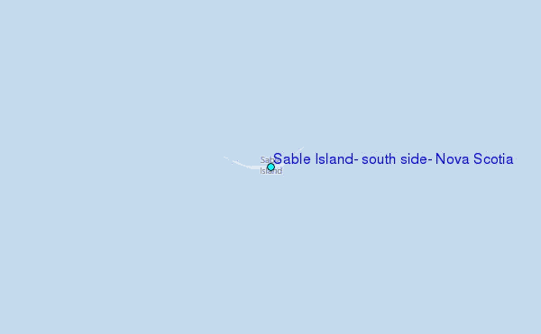