
| Distance / Altitude | Location | Report Date / Time | Live Weather | Wind | Gusts | Temp. | Visibility | Cloud |
|---|---|---|---|---|---|---|---|---|
| 48 km NW / 213 m | Hurguada Airport (Egypt) | 2024-04-28 17:00 local (2024/04/28 15:00 GMT) | - | moderate winds from the N (24 km/h at 360) | — | 0.0 | ||
| 50 km NW / 108 m | Hurguada Airport (Egypt) | 2024-04-28 17:00 local (2024/04/28 15:00 GMT) | no report | moderate winds from the N (24 km/h at 360) | 28°C | 10 | - | |
| 78 km SSE / 107 m | Kosseir (Egypt) | 2024-04-28 17:00 local (2024/04/28 15:00 GMT) | no report | moderate winds from the NNW (22 km/h at 330) | 28°C | 10 | - | |
| 133 km SW / 77 m | South OF Valley University (Egypt) | 2024-04-28 16:00 local (2024/04/28 14:00 GMT) | no report | light winds from the NW (9 km/h at 310) | 36°C | 10 | - - - | |
| 142 km NNE / 210 m | Sharm EL Sheikhi Airport (Egypt) | 2024-04-28 17:00 local (2024/04/28 15:00 GMT) | - | light winds from the NE (15 km/h at 40) | — | 0.0 |
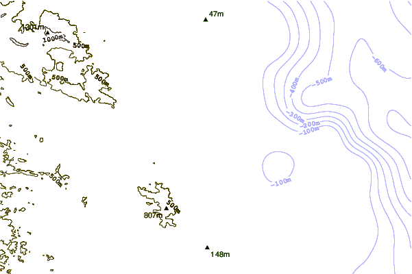
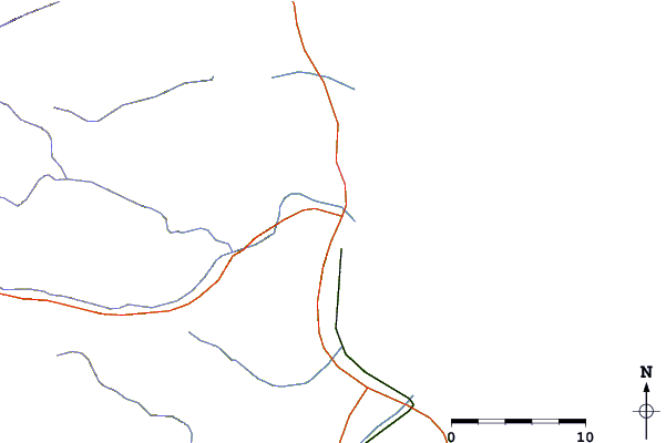
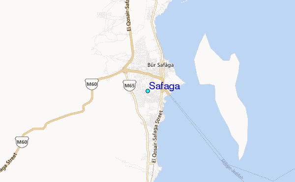
| Contours: | Roads & Rivers: | Select a
tide station / surf break / city |
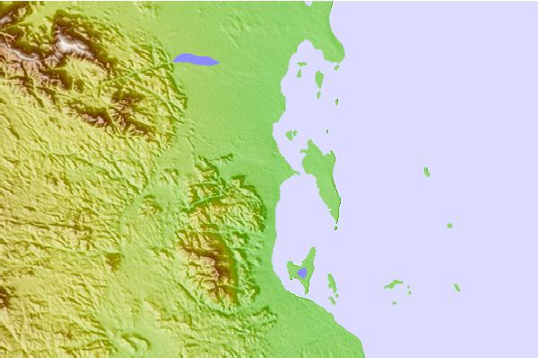
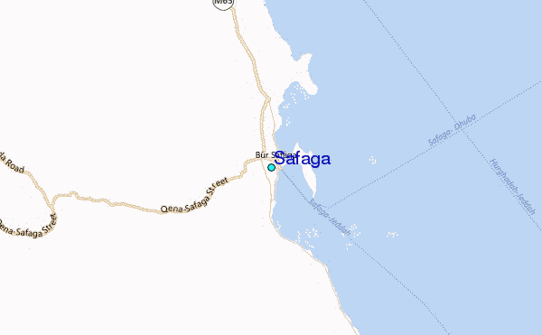
Use this relief map to navigate to tide stations, surf breaks and cities that are in the area of Safaga.
Other Nearby Locations' tide tables and tide charts to Safaga:
click location name for more details
 Surf breaks close to Safaga:
|
||
|---|---|---|
| Closest surf break | Marsa Alaam | 128 mi |
| Second closest surf break | Eilat (Green Beach) | 203 mi |
| Third closest surf break | Gaza Harbourmouth | 331 mi |
| Fourth closest surf break | Ziqim ( Zikim) Beach | 338 mi |
| Fifth closest surf break | Ashkelon Shimshon | 342 mi |

 Nearest