
| Distance / Altitude | Location | Report Date / Time | Live Weather | Wind | Gusts | Temp. | Visibility | Cloud |
|---|---|---|---|---|---|---|---|---|
| 5 km NNE / 3 m | Englishtown (Canada) | 2024-04-27 10:44 local (2024/04/27 13:44 GMT) | dry | light winds from the NE (19 km/h at 34) | 6°C | - | - - 0 | |
| 8 km NW / 16 m | Murray wx (Canada) | 2024-04-27 11:35 local (2024/04/27 14:35 GMT) | dry | light winds from the N (16 km/h at 356) | 8°C | - | - - 0 | |
| 10 km SE / 63 m | Southside Boularderie (Canada) | 2024-04-27 11:26 local (2024/04/27 14:26 GMT) | dry | light winds from the NNE (11 km/h at 19) | 8°C | - | - - 0 | |
| 11 km NW / 88 m | West Tarbot (Canada) | 2024-04-27 11:31 local (2024/04/27 14:31 GMT) | dry | wind obs. (8 kph from 344 degs) was rejected (- km/h at -) | 7°C | - | - - 0 | |
| 12 km N / 61 m | Tarbotvale (Canada) | 2024-04-27 11:10 local (2024/04/27 14:10 GMT) | dry | calm (5 km/h at 327) | 8°C | - | - - 0 |
| Contours: | Roads & Rivers: | Select a
tide station / surf break / city |
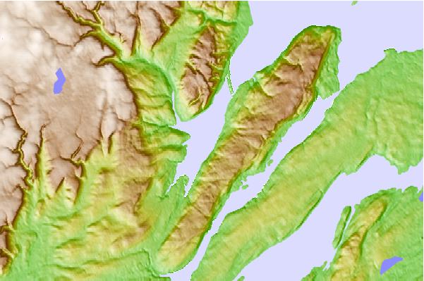
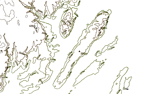
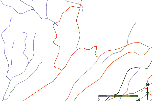
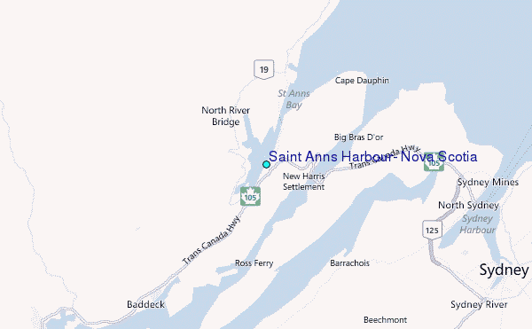
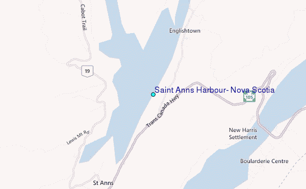
Use this relief map to navigate to tide stations, surf breaks and cities that are in the area of Saint Anns Harbour, Nova Scotia.
Other Nearby Locations' tide tables and tide charts to Saint Anns Harbour, Nova Scotia:
click location name for more details
 Surf breaks close to Saint Anns Harbour, Nova Scotia:
|
||
|---|---|---|
| Closest surf break | Ingonish Beach | 28 mi |
| Second closest surf break | Kennington Cove | 35 mi |
| Third closest surf break | Michaud Point | 47 mi |
| Fourth closest surf break | Martinique | 166 mi |
| Fifth closest surf break | Lawrencetown Left Point | 174 mi |

 Nearest
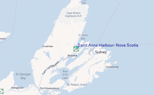