
| Distance / Altitude | Location | Report Date / Time | Live Weather | Wind | Gusts | Temp. | Visibility | Cloud |
|---|---|---|---|---|---|---|---|---|
| 71 km SSE / 15 m | ASCATB302E51N (Marine) | 2024-04-29 10:28 local (2024/04/29 13:28 GMT) | moderate winds from the NNE (28 km/h at 14) | — | - km | |||
| 105 km ENE / 37 m | Lourdes DE Blanc Sablon A- Que (Canada) | 2024-04-29 12:00 local (2024/04/29 15:00 GMT) | no report | light winds from the ENE (11 km/h at 60) | 5°C | 4 | - overcast - | |
| 107 km ENE / 216 m | Blanc Sablon Airport (Quebec) | 2024-04-29 11:00 local (2024/04/29 14:00 GMT) | Light rain | moderate winds from the NE (20 km/h at 50) | 5°C | 16 | overcast | |
| 108 km SSW / 198 m | Chevery Airport (Quebec) | 2024-04-29 11:00 local (2024/04/29 14:00 GMT) | - | light winds from the N (17 km/h at 10) | 1°C | 0.0 | ||
| 109 km SSW / 8 m | Chevery-Que (Canada) | 2024-04-29 12:00 local (2024/04/29 15:00 GMT) | no report | light winds from the N (18 km/h at 350) | 3°C | - | - no observation - |

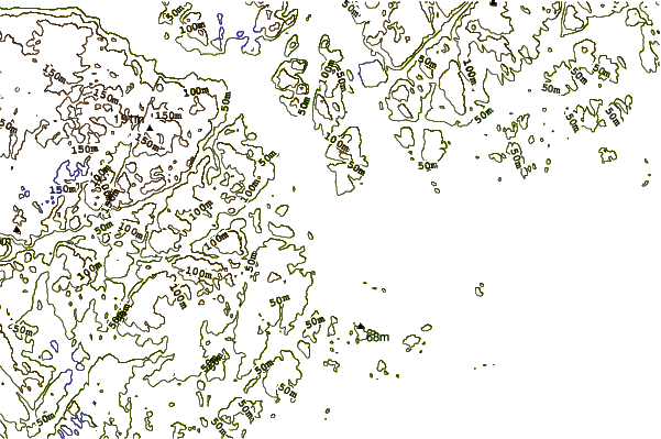
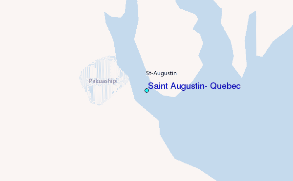
| Contours: | Roads & Rivers: | Select a
tide station / surf break / city |
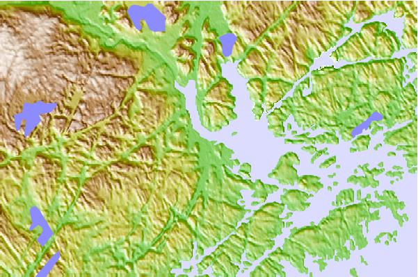
Use this relief map to navigate to tide stations, surf breaks and cities that are in the area of Saint Augustin, Quebec.
Other Nearby Locations' tide tables and tide charts to Saint Augustin, Quebec:
click location name for more details
 Surf breaks close to Saint Augustin, Quebec:
|
||
|---|---|---|
| Closest surf break | Ingonish Beach | 326 mi |
| Second closest surf break | Kennington Cove | 375 mi |
| Third closest surf break | Michaud Point | 401 mi |
| Fourth closest surf break | Martinique | 497 mi |
| Fifth closest surf break | Lawrencetown Left Point | 503 mi |

 Nearest
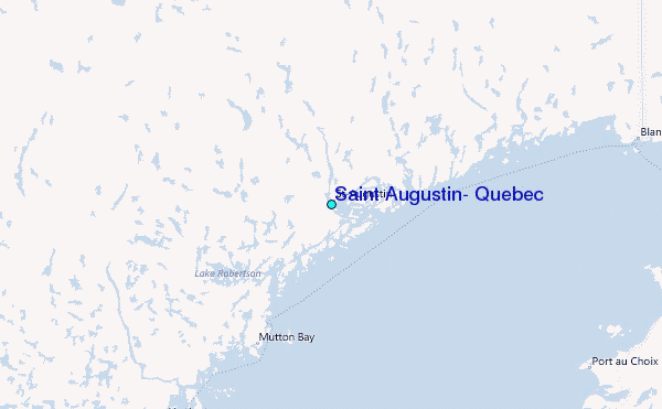