
| Distance / Altitude | Location | Report Date / Time | Live Weather | Wind | Gusts | Temp. | Visibility | Cloud |
|---|---|---|---|---|---|---|---|---|
| 5 km W / 28 m | Saint-Michael Airport (Alaska) (Alaska) | 2024-04-27 02:56 local (2024/04/27 10:56 GMT) | Mist - | light winds from the W (7 km/h at 280) | -2°C | 6 | scattered | |
| 76 km NE / 201 m | Unalakleet Airport (Alaska) | 2024-04-27 03:06 local (2024/04/27 11:06 GMT) | Light rain | light winds from the SSW (19 km/h at 210) | 1°C | 0 | broken | |
| 76 km NE / 3 m | BUOY-ULRA2 (Marine) | 2024-04-27 04:00 local (2024/04/27 12:00 GMT) | - (- km/h at -) | — | - | |||
| 107 km NNE / 7 m | Shaktoolik Airport (Alaska) | 2024-04-27 02:56 local (2024/04/27 10:56 GMT) | Clear | light winds from the NNE (6 km/h at 30) | 0°C | 16 | ||
| 128 km N / 49 m | Elim Aprt (Alaska) | 2024-04-27 02:56 local (2024/04/27 10:56 GMT) | Dry and partly cloudy | light winds from the NNW (11 km/h at 340) | 4°C | 16 | scattered |
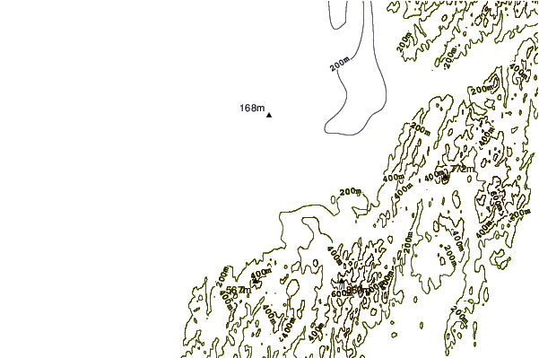
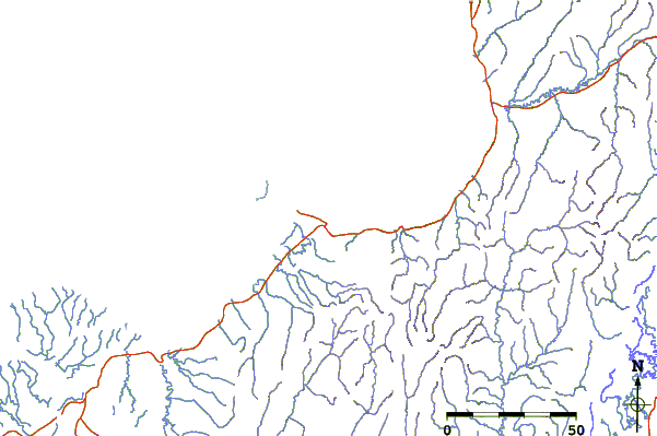
| Contours: | Roads & Rivers: | Select a
tide station / surf break / city |
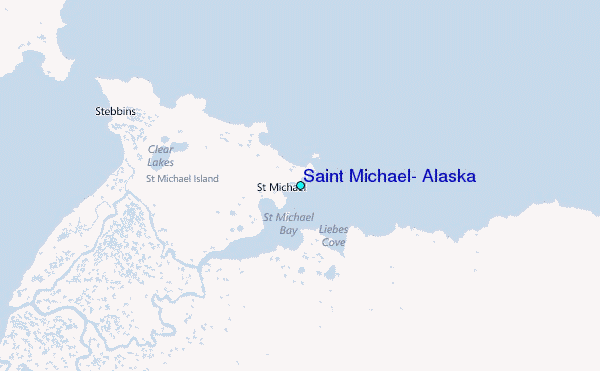
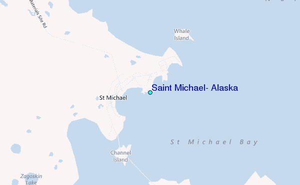
Use this relief map to navigate to tide stations, surf breaks and cities that are in the area of Saint Michael, Alaska.
Other Nearby Locations' tide tables and tide charts to Saint Michael, Alaska:
click location name for more details
 Surf breaks close to Saint Michael, Alaska:
|
||
|---|---|---|
| Closest surf break | Bird Point (Tidal Bore) | 393 mi |
| Second closest surf break | Termination Point | 506 mi |
| Third closest surf break | Monashka Bay | 507 mi |
| Fourth closest surf break | Mill Bay | 509 mi |
| Fifth closest surf break | Fossil Beach Kodiak | 531 mi |

 Nearest
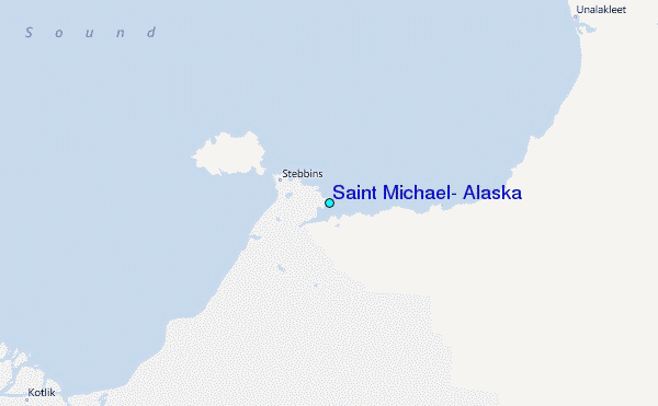