
| Distance / Altitude | Location | Report Date / Time | Live Weather | Wind | Gusts | Temp. | Visibility | Cloud |
|---|---|---|---|---|---|---|---|---|
| 55 km NW / 220 m | Talara/Cap. FAP Víctor Montes Arias International Airport (Peru) | 2024-05-06 09:00 local (2024/05/06 14:00 GMT) | - | fresh winds from the SSE (35 km/h at 160) | — | 0.0 | ||
| 56 km ESE / 1 m | Piura/Capitán FAP Guillermo Concha Iberico International Airport (Peru) | 2024-05-06 09:00 local (2024/05/06 14:00 GMT) | - | light winds from the SE (6 km/h at 140) | — | 0.0 | ||
| 182 km NNE / 158 m | Tumbes Pedro Canga Rodríguez Airport (Peru) | 2024-05-06 10:00 local (2024/05/06 15:00 GMT) | Dry and partly cloudy | light winds from the E (6 km/h at 90) | 28°C | 10.0 | broken | |
| 214 km NE / 52 m | Machala Larrea Airport (Ecuador) | 2024-05-06 09:00 local (2024/05/06 14:00 GMT) | Dry and cloudy | calm (4 km/h at 60) | 27°C | 10.0 | scattered overcast | |
| 220 km ENE / 1237 m | Ciudad de Catamayo Airport (Ecuador) | 2024-05-06 09:00 local (2024/05/06 14:00 GMT) | Dry and partly cloudy | calm (2 km/h at 190) | 23°C | 10.0 | scattered - - |
| Contours: | Roads & Rivers: | Select a
tide station / surf break / city |
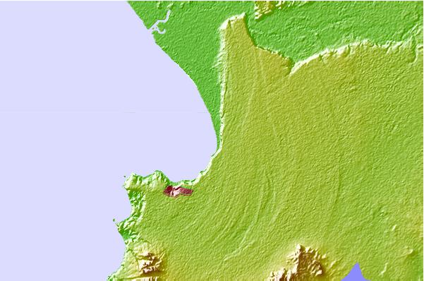
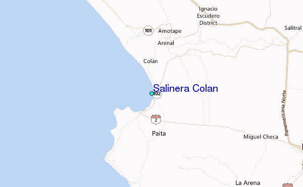
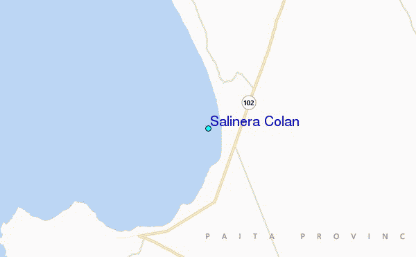
Use this relief map to navigate to tide stations, surf breaks and cities that are in the area of Salinera Colan.
Other Nearby Locations' tide tables and tide charts to Salinera Colan:
click location name for more details
 Surf breaks close to Salinera Colan:
|
||
|---|---|---|
| Closest surf break | Colan | 3 mi |
| Second closest surf break | Punta Negra | 8 mi |
| Third closest surf break | Yacila | 10 mi |
| Fourth closest surf break | La Islilla | 16 mi |
| Fifth closest surf break | Punta Balcones | 30 mi |

 Nearest
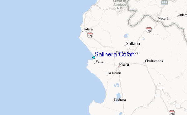