
| Distance / Altitude | Location | Report Date / Time | Live Weather | Wind | Gusts | Temp. | Visibility | Cloud |
|---|---|---|---|---|---|---|---|---|
| 401 km W / 359 m | Port Moresby International Airport (Papua New Guinea) | 2024-04-28 18:00 local (2024/04/28 08:00 GMT) | Haze - | moderate winds from the SSE (28 km/h at 160) | 29°C | 10.0 | few | |
| 402 km W / 48 m | Port Moresby W.o. (Papua New Guinea) | 2024-04-28 18:00 local (2024/04/28 08:00 GMT) | haze | light winds from the SSE (15 km/h at 150) | 31°C | 30 | - | |
| 545 km SSE / 15 m | SHIP5179 (Marine) | 2024-04-28 17:00 local (2024/04/28 07:00 GMT) | near gales from the ESE (51.84 km/h at 120) | — | 17.7 km | |||
| 626 km WNW / 70 m | Nadzab (Papua New Guinea) | 2024-04-28 17:00 local (2024/04/28 07:00 GMT) | Haze - | light winds from the ENE (15 km/h at 70) | 29°C | 10.0 | scattered scattered broken | |
| 636 km S / 472 m | Willis Island (Australia) | 2024-04-28 19:00 local (2024/04/28 09:00 GMT) | No report | strong winds from the ESE (46 km/h at 120) | 27°C | - | - no observation - |
| Contours: | Roads & Rivers: | Select a
tide station / surf break / city |
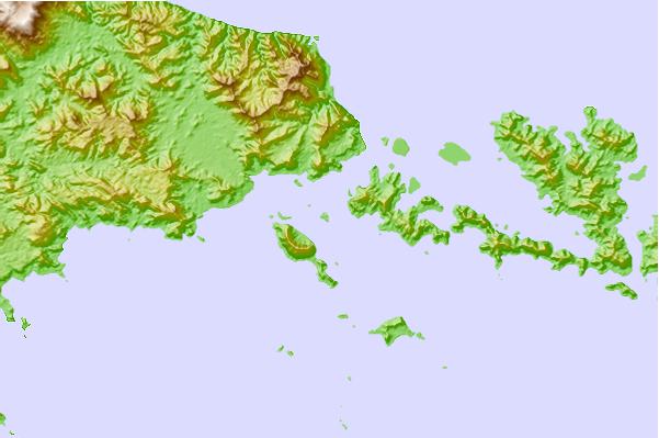
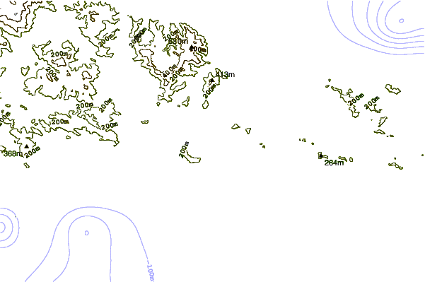
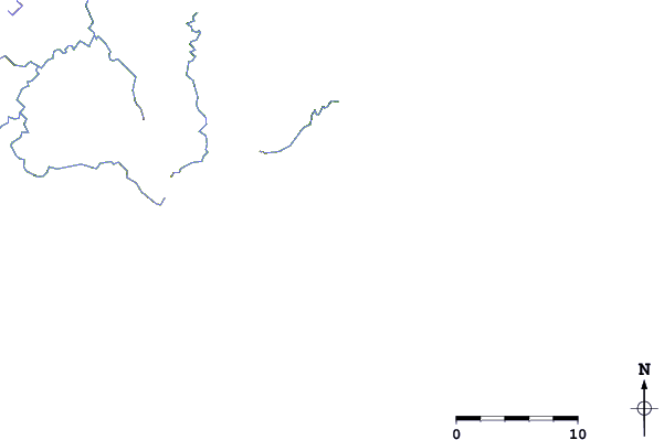
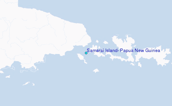
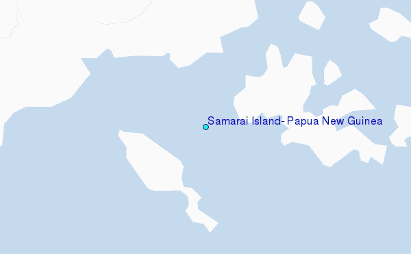
Use this relief map to navigate to tide stations, surf breaks and cities that are in the area of Samarai Island, Papua New Guinea.
Other Nearby Locations' tide tables and tide charts to Samarai Island, Papua New Guinea:
click location name for more details
 Surf breaks close to Samarai Island, Papua New Guinea:
|
||
|---|---|---|
| Closest surf break | Raiven | 445 mi |
| Second closest surf break | Pailongge | 452 mi |
| Third closest surf break | Titiana | 454 mi |
| Fourth closest surf break | Duke of York | 458 mi |
| Fifth closest surf break | Makuti | 461 mi |

 Nearest
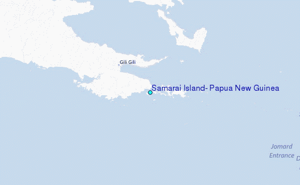