
| Distance / Altitude | Location | Report Date / Time | Live Weather | Wind | Gusts | Temp. | Visibility | Cloud |
|---|---|---|---|---|---|---|---|---|
| 2 km WSW / 6 m | SanAndres(Isla)Sesquicentenario (Colombia) | 2024-04-29 19:00 local (2024/04/30 00:00 GMT) | Nearby precipitation but not falling at station | calm (0 km/h at 0) | 28°C | 40 km | mostly cloudy | |
| 3 km SSW / 164 m | San Andres Island Airport (Columbia) | 2024-04-29 18:00 local (2024/04/29 23:00 GMT) | Shower - in the vicinity | calm (4 km/h at 1) | 27°C | 10.0 | scattered | |
| 95 km NNE / 40 m | Providencia Isla Airport (Columbia) | 2024-04-29 18:00 local (2024/04/29 23:00 GMT) | Dry and partly cloudy | light winds from the ESE.(Wind varies from 070 to 140 degs) (7 km/h at 110) | 29°C | 10.0 | scattered | |
| 244 km WNW / 272 m | Puerto Cabezas Airport (Nicaragua) | 2024-04-29 18:00 local (2024/04/29 23:00 GMT) | Dry and partly cloudy | light winds from the E (11 km/h at 90) | 30°C | 7.0 | scattered scattered | |
| 323 km S / 3 m | PuertoLimon (Costa Rica) | 2024-04-29 19:00 local (2024/04/30 00:00 GMT) | - | light winds from the E (7 km/h at 80) | 29°C | 35 km | mostly cloudy |
| Contours: | Roads & Rivers: | Select a
tide station / surf break / city |
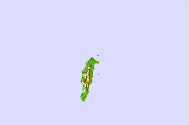
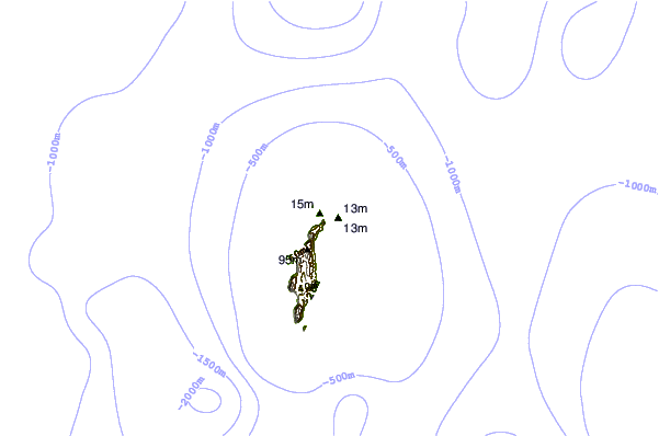
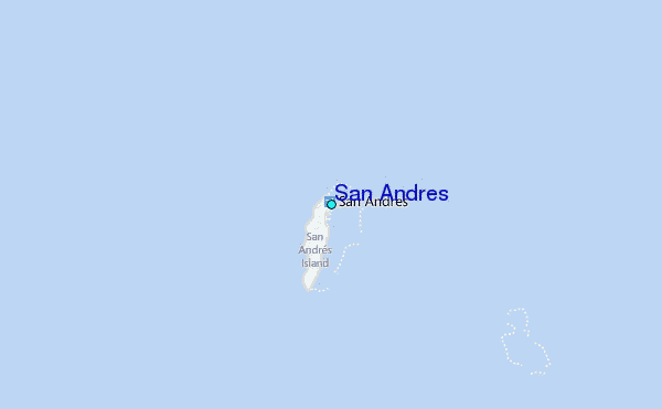
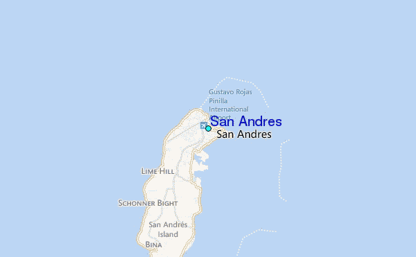
Use this relief map to navigate to tide stations, surf breaks and cities that are in the area of San Andres.
Other Nearby Locations' tide tables and tide charts to San Andres:
click location name for more details
 Surf breaks close to San Andres:
|
||
|---|---|---|
| Closest surf break | Isla Uvita | 200 mi |
| Second closest surf break | Playa Bonita | 200 mi |
| Third closest surf break | Roca Alta | 200 mi |
| Fourth closest surf break | Tortuguero | 200 mi |
| Fifth closest surf break | Portete | 201 mi |

 Nearest