
| Distance / Altitude | Location | Report Date / Time | Live Weather | Wind | Gusts | Temp. | Visibility | Cloud |
|---|---|---|---|---|---|---|---|---|
| 107 km N / 5 m | Rugsuanan wx (Philippines) | 2024-04-29 16:39 local (2024/04/29 08:39 GMT) | - | - (- km/h at ) | 44°C | - | - - 0 | |
| 162 km S / 155 m | Clark AB (Philippines) | 2024-04-29 17:00 local (2024/04/29 09:00 GMT) | haze | calm (4 km/h at 40) | 37°C | 18 | - | |
| 164 km S / 584 m | Angeles/Pampanga Airport (Philippines) | 2024-04-29 16:00 local (2024/04/29 08:00 GMT) | - | light winds from the SSE (11 km/h at 160) | 38°C | 10.0 | few | |
| 172 km SE / 145 m | Baler Radar Station (Philippines) | 2024-04-29 17:00 local (2024/04/29 09:00 GMT) | no report | calm (4 km/h at 140) | 32°C | 30 | - | |
| 174 km N / 344 m | Laoag International Airport (Philippines) | 2024-04-29 16:00 local (2024/04/29 08:00 GMT) | - | moderate winds from the N.(Wind varies from 310 to 020 degs) (20 km/h at 350) | 33°C | 10.0 | few |
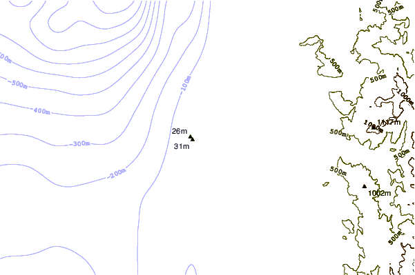
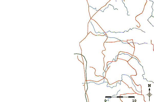
| Contours: | Roads & Rivers: | Select a
tide station / surf break / city |
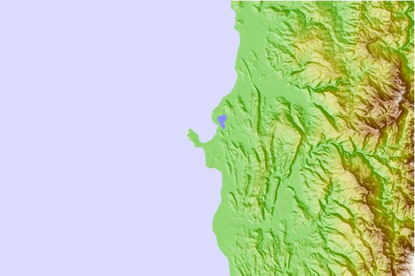
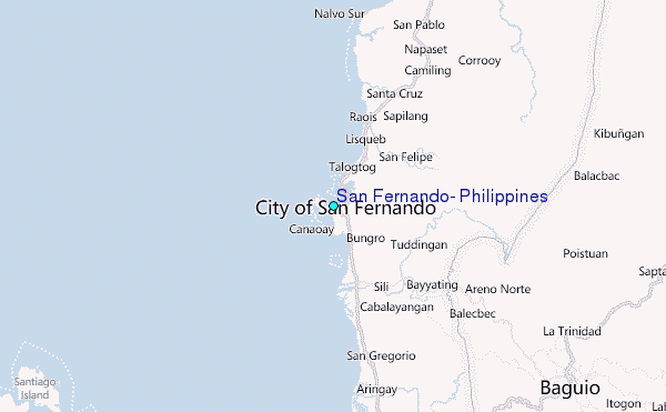
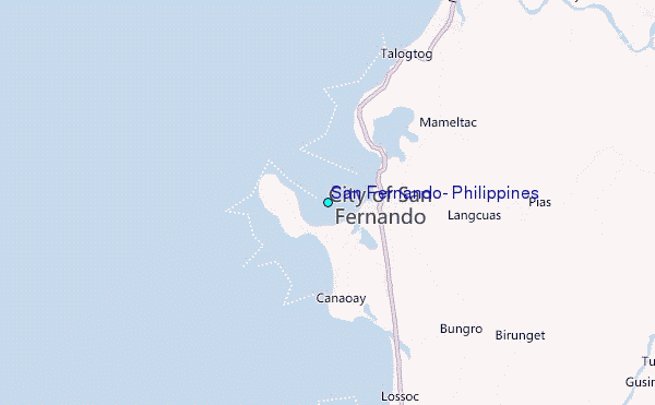
Use this relief map to navigate to tide stations, surf breaks and cities that are in the area of San Fernando, Philippines.
Other Nearby Locations' tide tables and tide charts to San Fernando, Philippines:
click location name for more details
 Surf breaks close to San Fernando, Philippines:
|
||
|---|---|---|
| Closest surf break | Car-rille | 1 mi |
| Second closest surf break | Poro Point | 1 mi |
| Third closest surf break | Mona Liza Point | 3 mi |
| Fourth closest surf break | San Juan | 3 mi |
| Fifth closest surf break | Urbiztondo Beach | 4 mi |

 Nearest
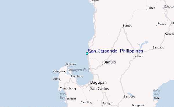