
| Distance / Altitude | Location | Report Date / Time | Live Weather | Wind | Gusts | Temp. | Visibility | Cloud |
|---|---|---|---|---|---|---|---|---|
| 64 km NNE / 1301 m | El Ceibillo wx (Guatemala) | 2024-04-29 20:26 local (2024/04/30 02:26 GMT) | dry | light winds from the SW (8 km/h at 225) | 22°C | - | - - 0 | |
| 78 km NNE / 1470 m | Guatemala/La Aurora Airport (Guatemala) | 2024-04-29 20:00 local (2024/04/30 02:00 GMT) | Dry and partly cloudy | moderate winds from the SSW (22 km/h at 210) | 21°C | 10.0 | broken | |
| 82 km NNE / 1725 m | El Palmar (Mexico) | 2024-04-29 20:46 local (2024/04/30 02:46 GMT) | dry | light winds from the SSW (10 km/h at 195) | 17°C | - | - - 0 | |
| 83 km NNE / 1500 m | Guatemala (Guatemala) | 2024-04-29 21:18 local (2024/04/30 03:18 GMT) | - | calm (0 km/h at 41) | 22°C | - | - - 0 | |
| 120 km WNW / 705 m | Comunidad Nueva Alianza wx (Guatemala) | 2024-04-29 20:26 local (2024/04/30 02:26 GMT) | dry | calm (2 km/h at 350) | 21°C | - | - - 0 |
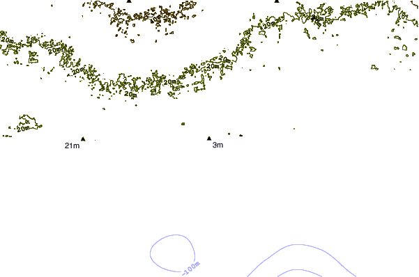
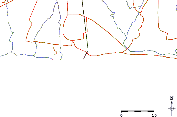
| Contours: | Roads & Rivers: | Select a
tide station / surf break / city |
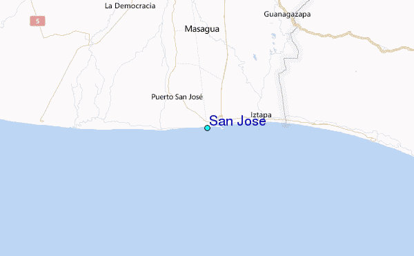
Use this relief map to navigate to tide stations, surf breaks and cities that are in the area of San Jose.
Other Nearby Locations' tide tables and tide charts to San Jose:
click location name for more details
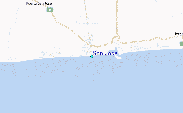
 Surf breaks close to San Jose:
|
||
|---|---|---|
| Closest surf break | Puerto San Jose | 0 mi |
| Second closest surf break | Chulamar | 4 mi |
| Third closest surf break | La Barra | 6 mi |
| Fourth closest surf break | La Barrita | 6 mi |
| Fifth closest surf break | Iztapa | 7 mi |

 Nearest
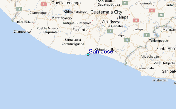